
Related Images


Download:
| Tiny | 155x128 | View | Download |
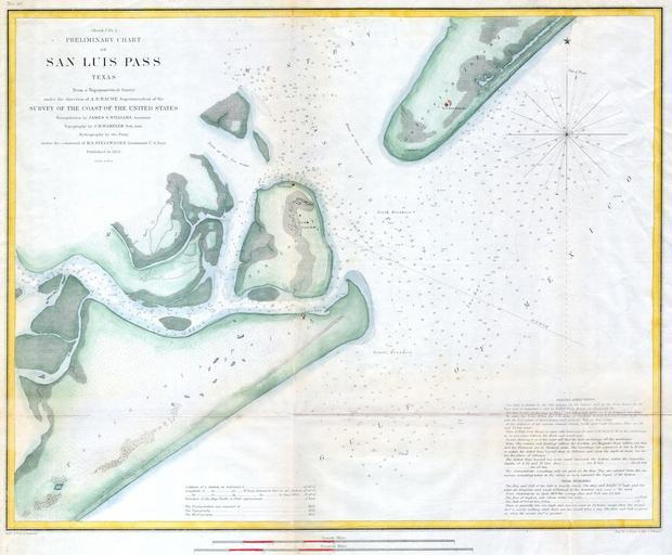
| Small | 310x256 | View | Download |
| Medium | 620x512 | View | Download |
| Large | 1240x1024 | View | Download |
| Original | 4000x3301 | View | Download |
This image was acquired from
wikimedia. It was marked as Public Domain or CC0 and is free to use. To verify, go to the source and check the information there.
Looking for more info about this image?
Try a Google Reverse Image Search for it.
Try a Google Reverse Image Search for it.
Keywords from Image Description:
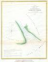
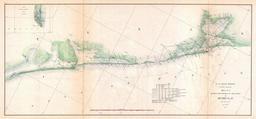
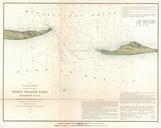
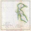
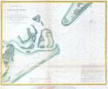
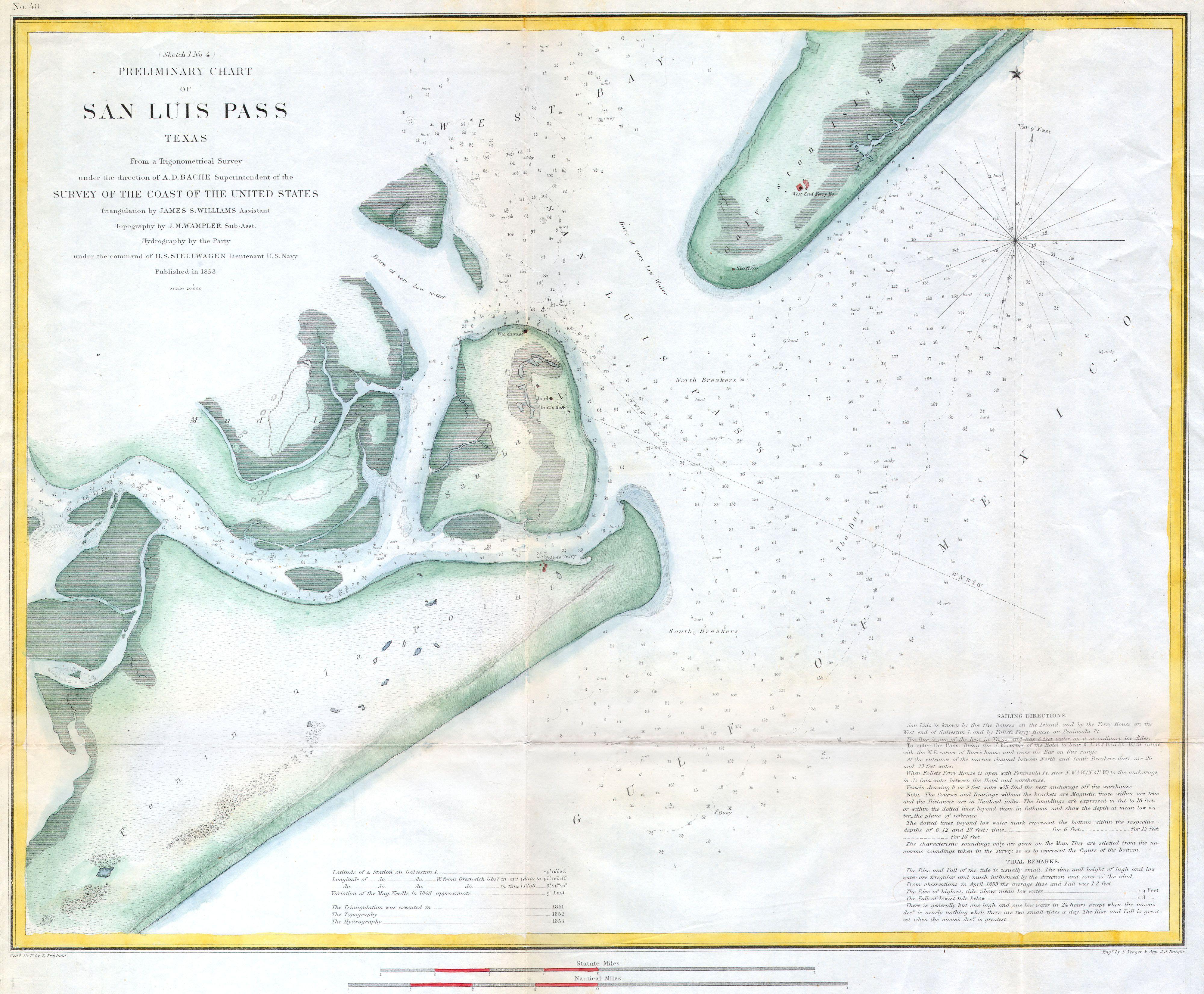
U.S.C.S. Coast Chart or Map of San Luis Pass Texas Geographicus SanLuisPassuscs. rare hand colored costal chart of San Luis Pass or the entrance to Galveston harbor Texas Features Peninsula Point Follet Ferry San Luis Island Mud Island and Galveston Island There is otel indicated on San Luis Island Includes detailed sailing instructions