Related Images


Download:
| Tiny | 173x128 | View | Download |
| Small | 346x256 | View | Download |
| Medium | 693x512 | View | Download |
| Large | 1386x1024 | View | Download |
| Original | 5000x3694 | View | Download |
This image was acquired from
wikimedia. It was marked as Public Domain or CC0 and is free to use. To verify, go to the source and check the information there.
Looking for more info about this image?
Try a Google Reverse Image Search for it.
Try a Google Reverse Image Search for it.
Keywords from Image Description:
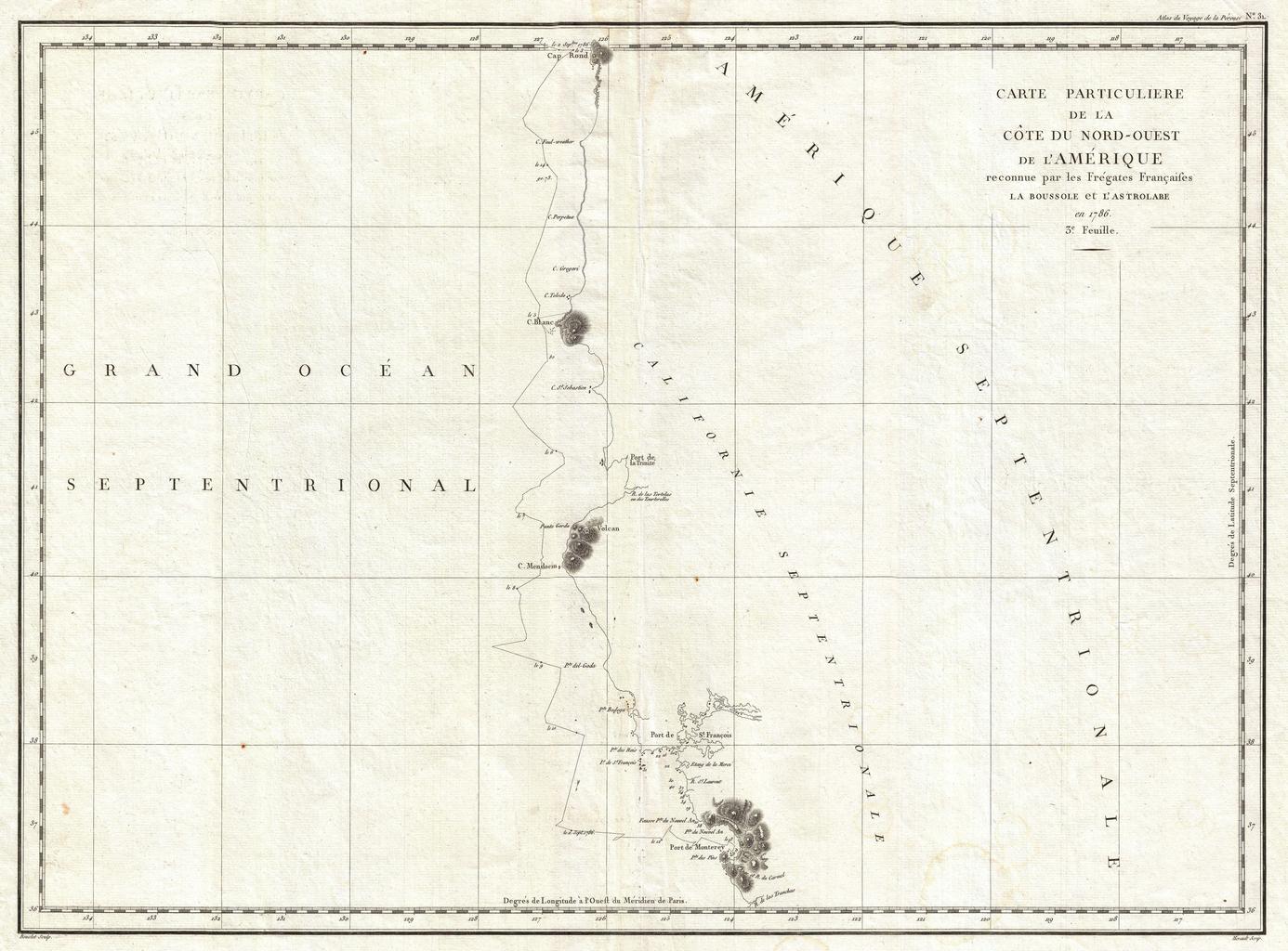
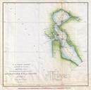
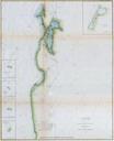
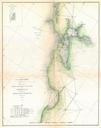
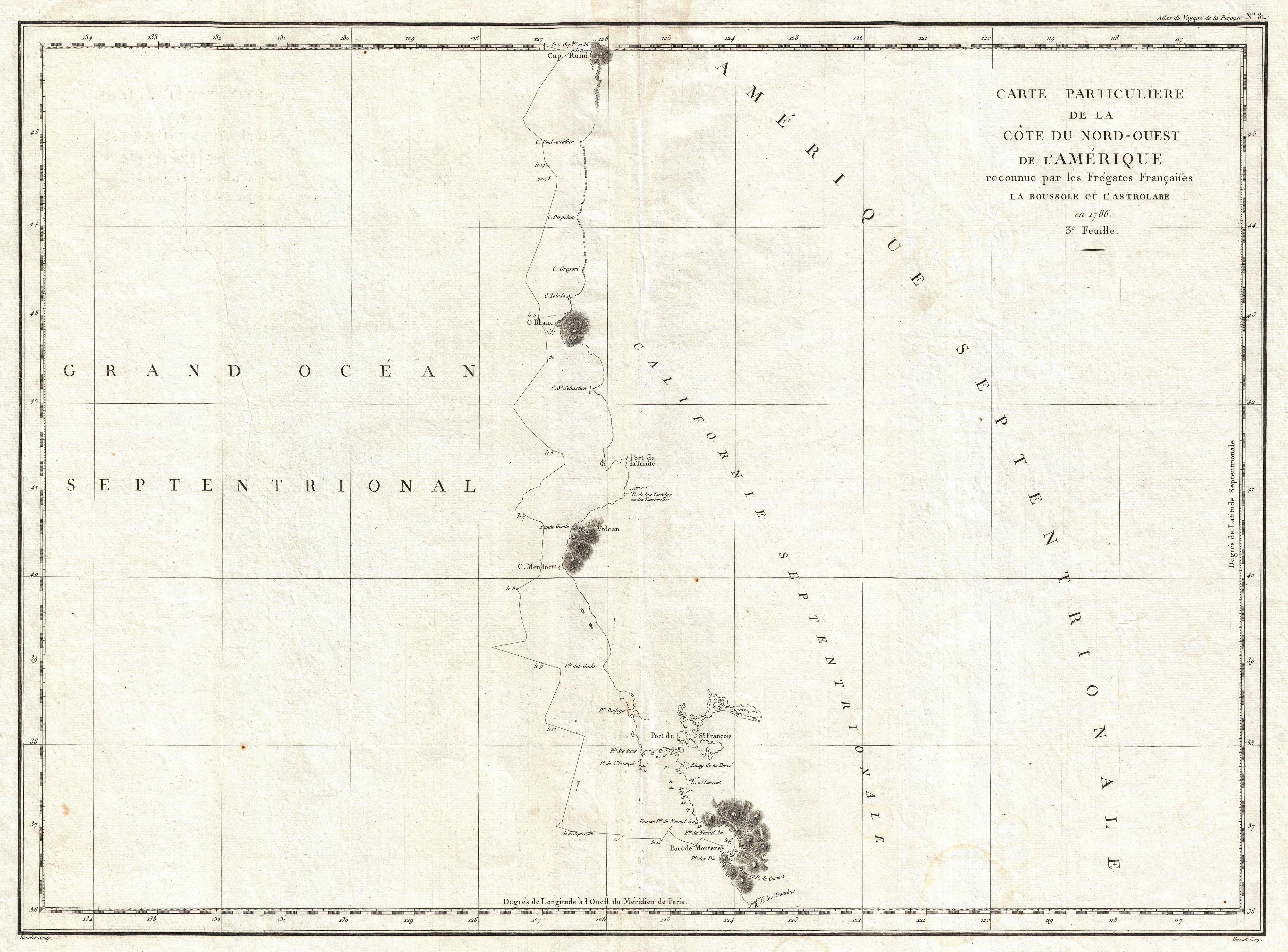
La Perouse Map of San Francisco Monterey Bay California and Oregon Geographicus Californiaperouse. This is fine example of La Perouse important mapping of the California and Oregon coastlines from Port de Monterey Monterey Bay northwards past the Port de St Francois San Francsico Bay and Cape Mendocino to Cap Rond Tillamook Head