Related Images


Download:
| Tiny | 86x128 | View | Download |
| Small | 172x256 | View | Download |
| Medium | 345x512 | View | Download |
| Large | 691x1024 | View | Download |
| Original | 1200x1777 | View | Download |
This image was acquired from
wikimedia. It was marked as Public Domain or CC0 and is free to use. To verify, go to the source and check the information there.
Looking for more info about this image?
Try a Google Reverse Image Search for it.
Try a Google Reverse Image Search for it.
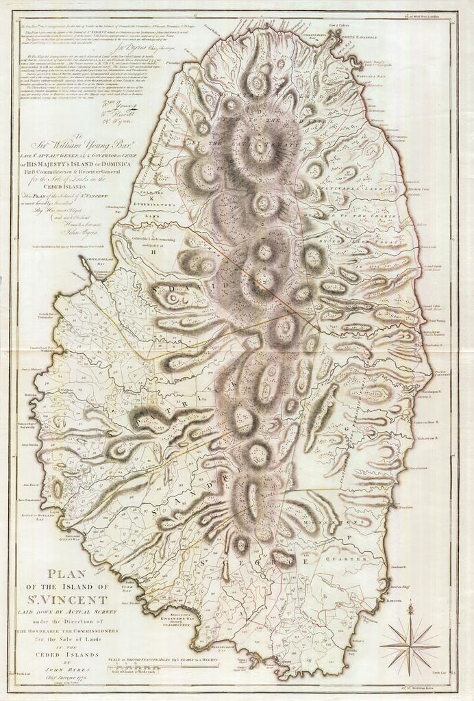
Keywords from Image Description:
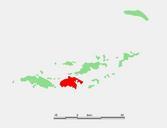
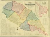
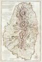
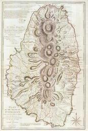
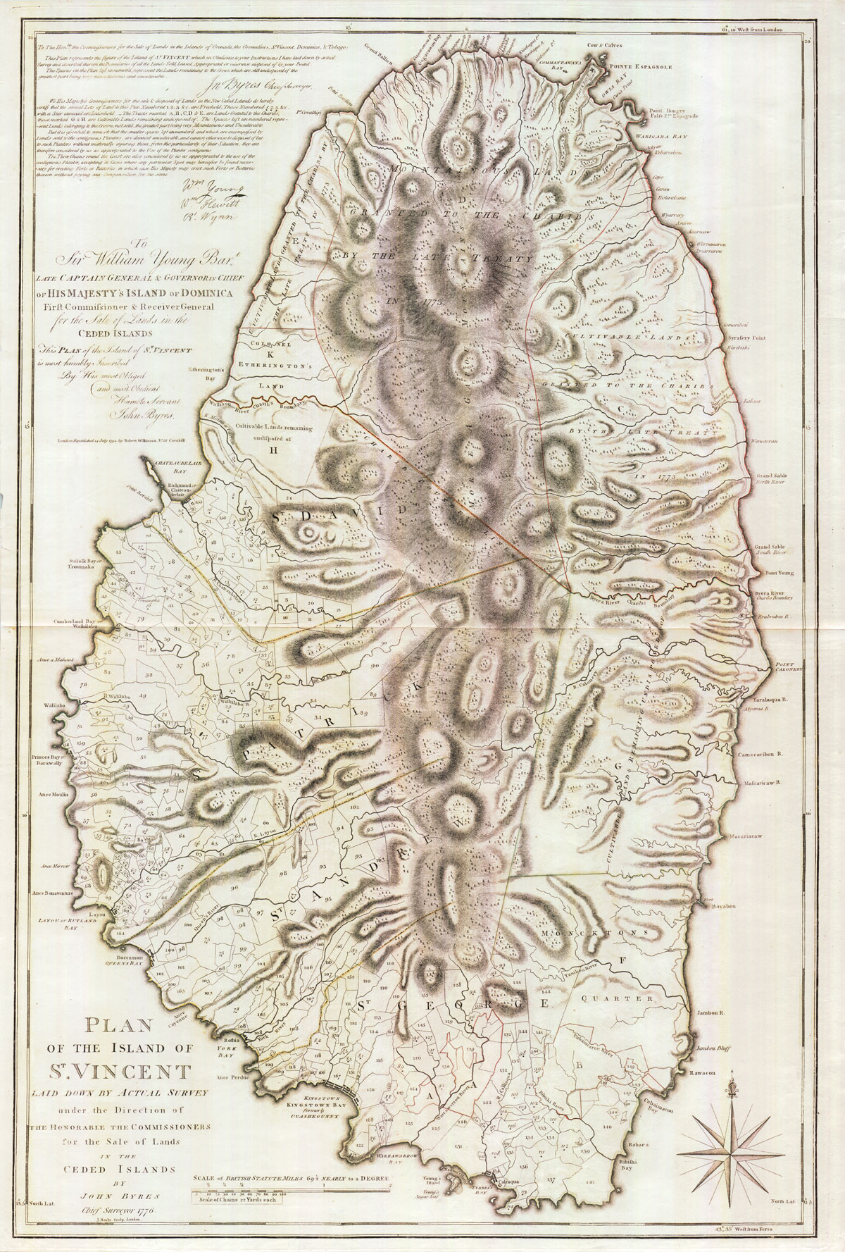
ByresSaintVincent. map of the Caribbean isle of Saint Vincent The southern portion of the island was under British control and the northern portion was under the control of the Black Caribs pennymead php coun st vincent John Byres PDold Topographic maps of Saint Vincent and the Grenadines maps History of Saint Vincent and the