Related Images


Download:
| Tiny | 162x128 | View | Download |
| Small | 324x256 | View | Download |
| Medium | 649x512 | View | Download |
| Large | 1299x1024 | View | Download |
| Original | 3000x2364 | View | Download |
This image was acquired from
wikimedia. It was marked as Public Domain or CC0 and is free to use. To verify, go to the source and check the information there.
Looking for more info about this image?
Try a Google Reverse Image Search for it.
Try a Google Reverse Image Search for it.
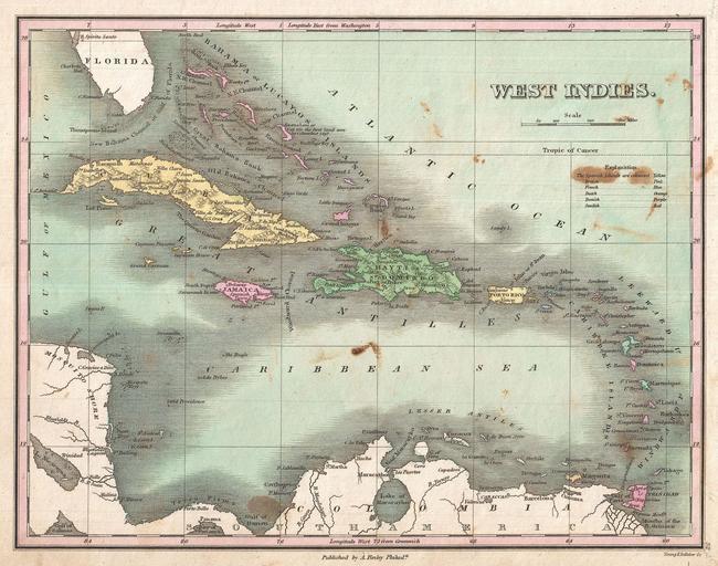
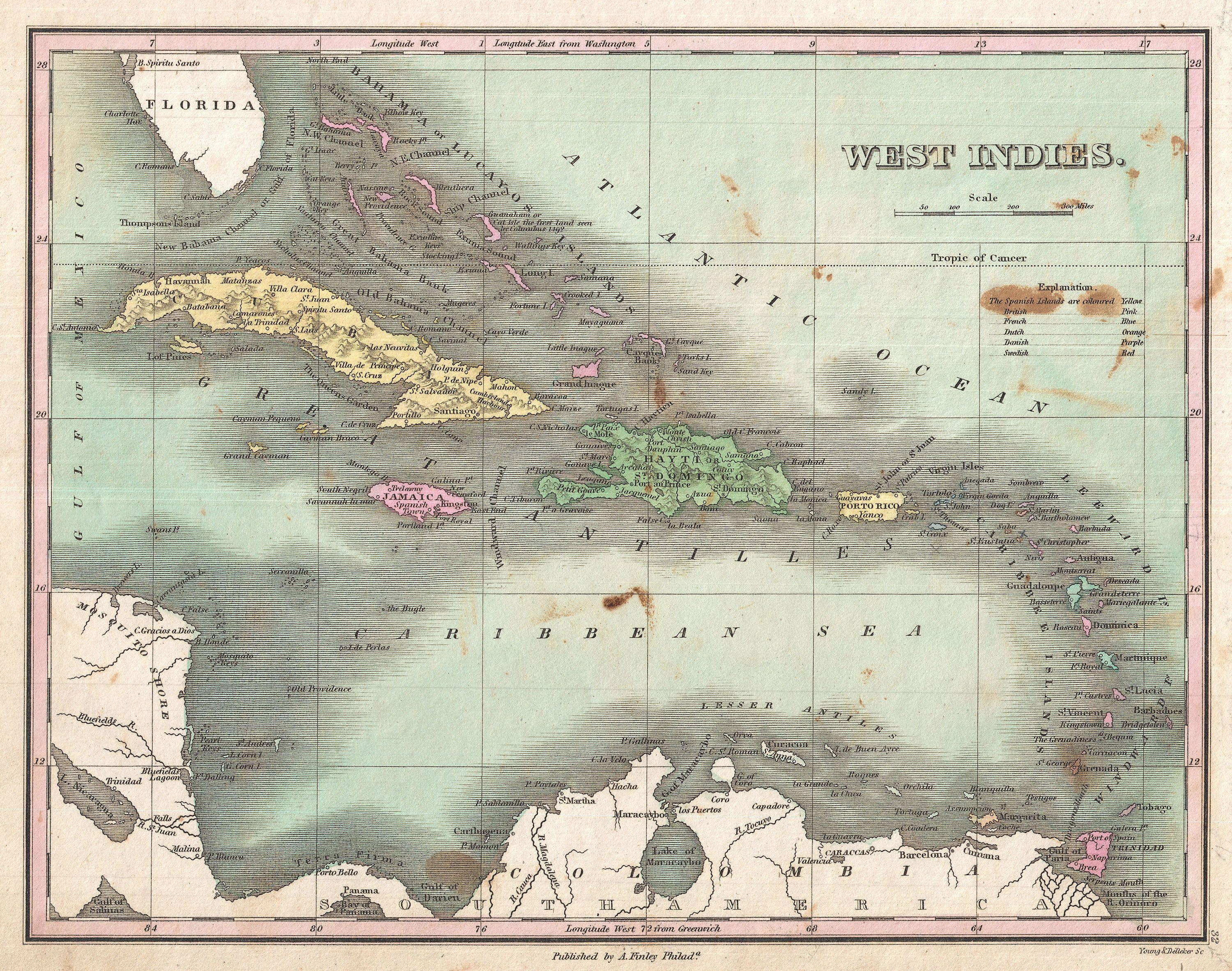
Keywords from Image Description:
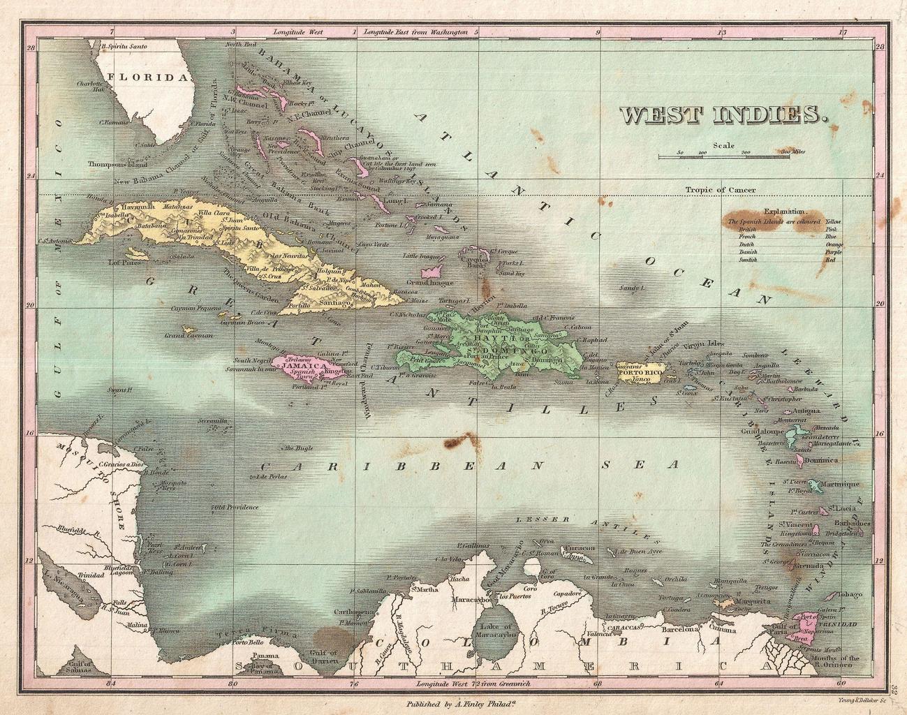
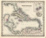
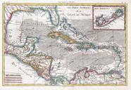
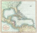
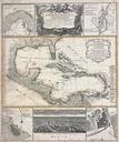
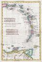
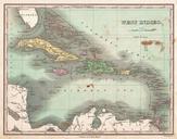
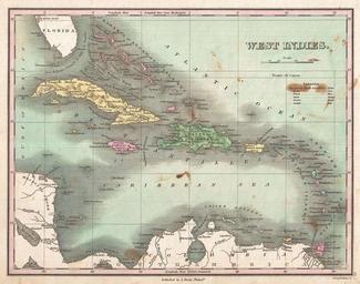
Finley Map of the West Indies Caribbean and Antilles Geographicus WestIndiesfinley. This is Finley desirable map of the West Indies and Caribbean Shows the Greater and LEsser Antilles as well as the Bahamas and portions of the Spanish Main Islands are color coded according to their European claimants Shows cities forts bays rivers