
Related Images


Download:
| Tiny | 182x128 | View | Download |
| Small | 365x256 | View | Download |
| Medium | 730x512 | View | Download |
| Large | 1461x1024 | View | Download |
| Original png | 2276x1595 | View | Download |
| Original as jpg | 2276x1595 | View | Download |
This image was acquired from
wikimedia. It was marked as Public Domain or CC0 and is free to use. To verify, go to the source and check the information there.
Looking for more info about this image?
Try a Google Reverse Image Search for it.
Try a Google Reverse Image Search for it.
Keywords from Image Description:
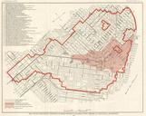
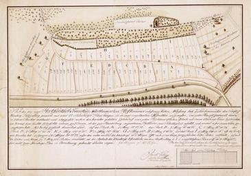
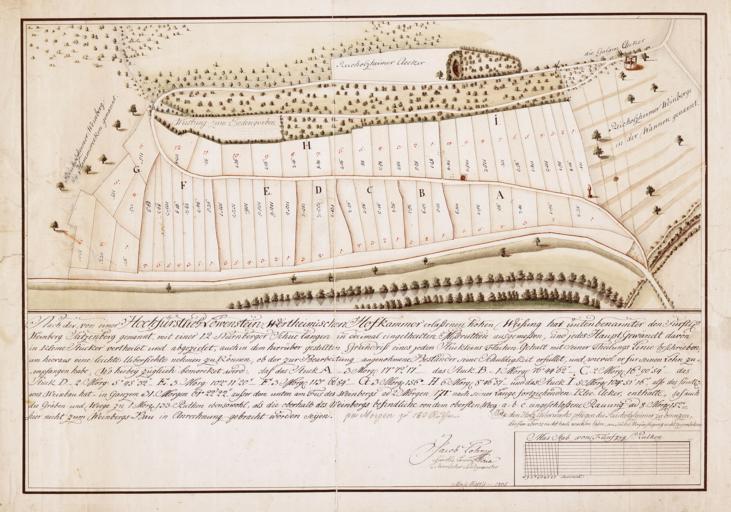
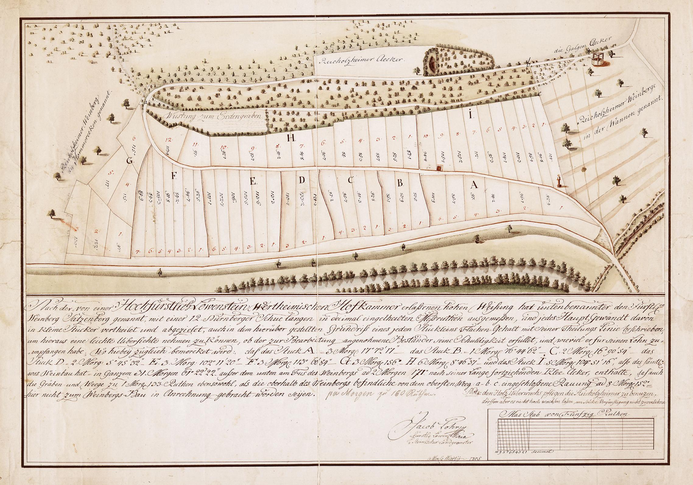
Satzenberg survey map . en Cadastral survey map of the Satzenberg vineyards along the Tauber River near Wertheim The vineyards still in operation are considered among the oldest in Germany dating back quite possibly to the th century Map dated March For fiscal purposes the prince of LwensteinWertheimRosenberg commissioned land