Related Images


Download:
| Tiny | 98x128 | View | Download |
| Small | 197x256 | View | Download |
| Medium | 395x512 | View | Download |
| Large | 791x1024 | View | Download |
| Original | 1700x2200 | View | Download |
This image was acquired from
wikimedia. It was marked as Public Domain or CC0 and is free to use. To verify, go to the source and check the information there.
Looking for more info about this image?
Try a Google Reverse Image Search for it.
Try a Google Reverse Image Search for it.
Keywords from Image Description:
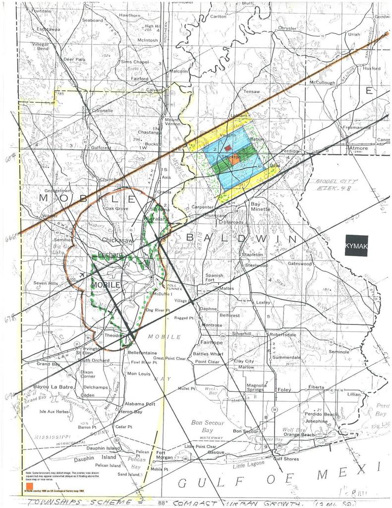
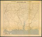
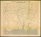
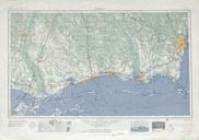
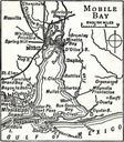
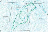
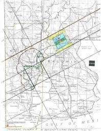
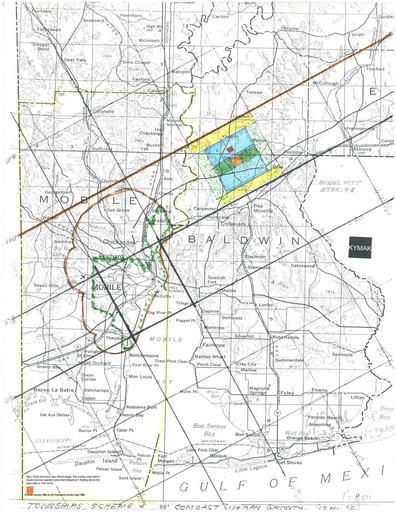
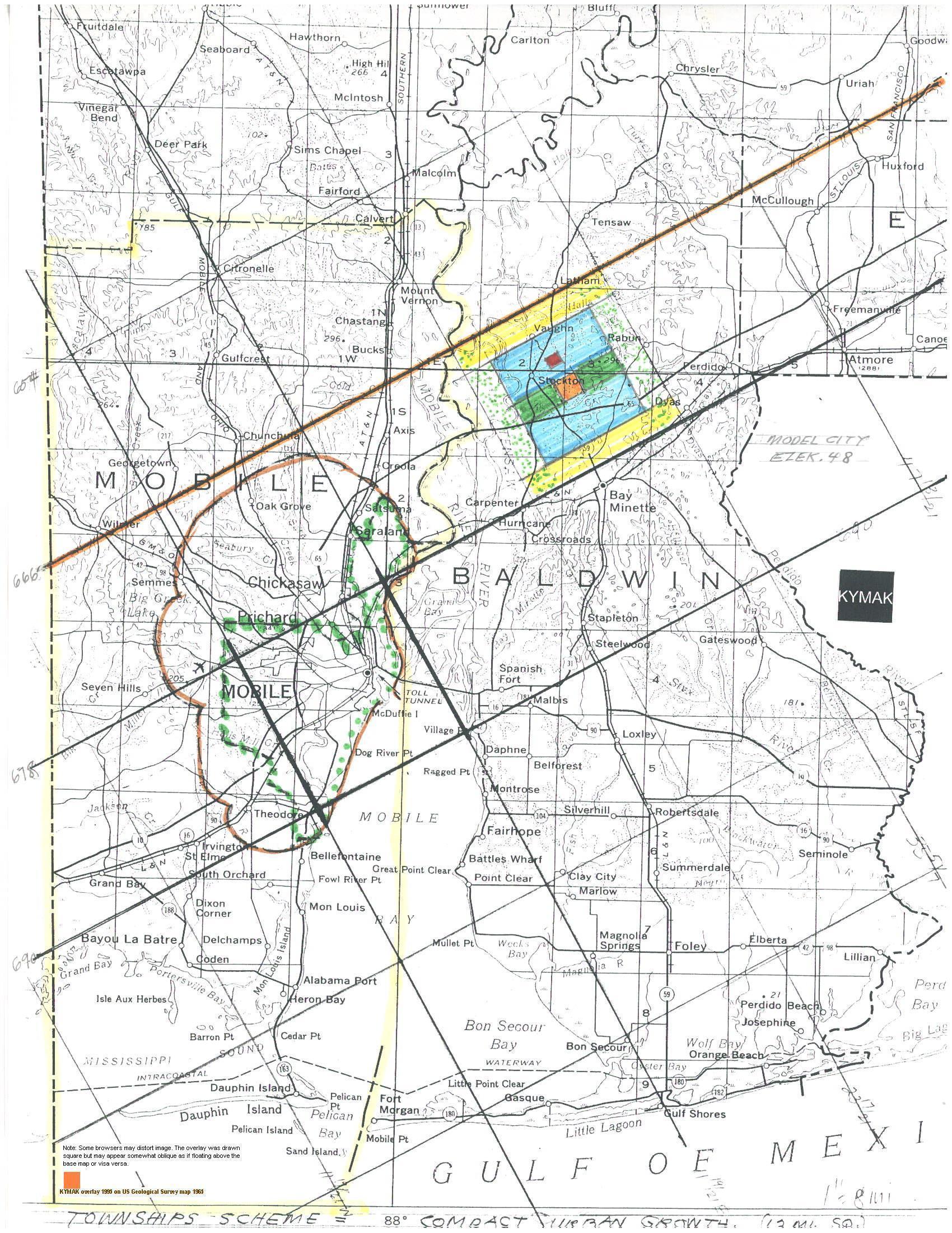
Dab.jpeg Mobile Alabama Region USGS map with KYMAK overlay Mobile Alabama KYMAK Comprehensive Regional Master Plan Details on Summary page The Mobile Region map is part of larger regional plan The straight orange line is in the major zone of development which extends to New Orleans and points beyond The irregular brown line shows