
Related Images


Download:
| Tiny | 129x128 | View | Download |
| Small | 259x256 | View | Download |
| Medium | 518x512 | View | Download |
| Large | 1037x1024 | View | Download |
| Original | 5557x5485 | View | Download |
This image was acquired from
flickr. It was marked as Public Domain or CC0 and is free to use. To verify, go to the source and check the information there.
Looking for more info about this image?
Try a Google Reverse Image Search for it.
Try a Google Reverse Image Search for it.
Keywords from Image Description:
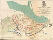
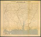
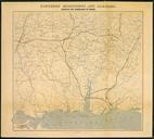
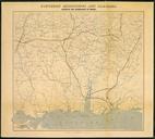
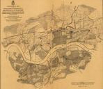
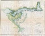
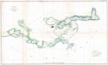
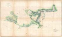
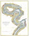
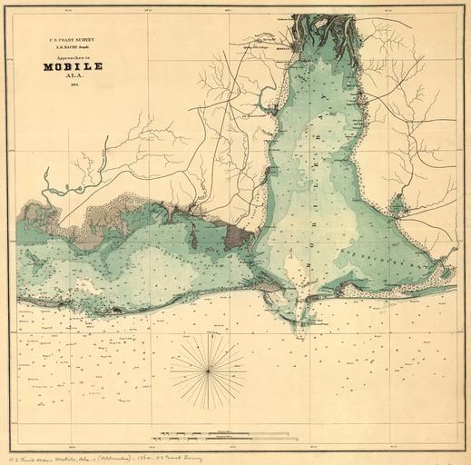
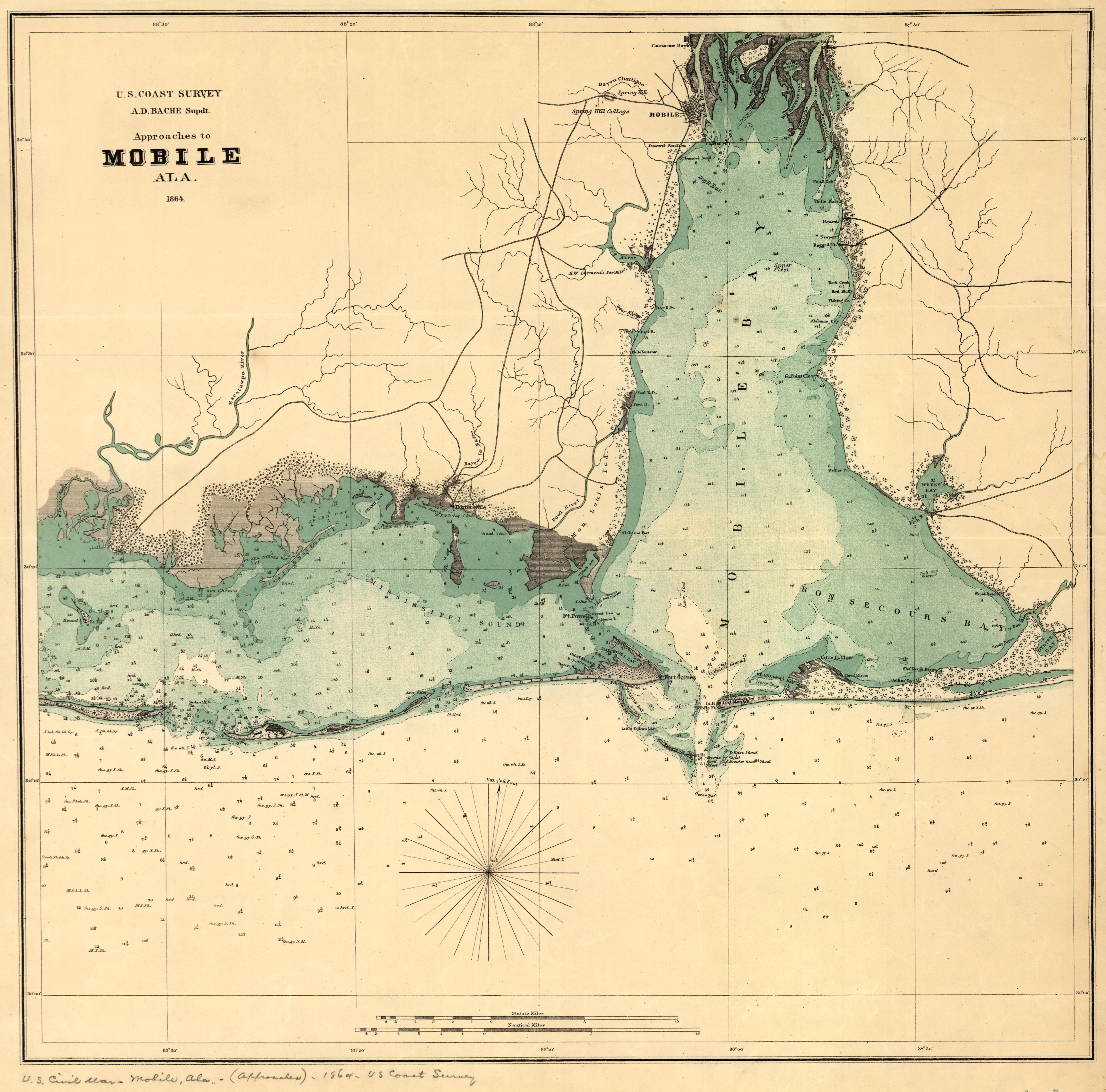
drawing sketch map photo border GMU United States Coast Survey Map showing the approaches to Mobile Alabama . Map shows forts towns soundings and few roads . Courtesy of the Library of Congress. GMU United States Coast Survey Map showing the approaches to Mobile Alabama . Map shows forts towns soundings and few roads