Related Images


Download:
| Tiny | 101x128 | View | Download |
| Small | 202x256 | View | Download |
| Medium | 405x512 | View | Download |
| Large | 810x1024 | View | Download |
| Original | 3000x3788 | View | Download |
This image was acquired from
wikimedia. It was marked as Public Domain or CC0 and is free to use. To verify, go to the source and check the information there.
Looking for more info about this image?
Try a Google Reverse Image Search for it.
Try a Google Reverse Image Search for it.
Keywords from Image Description:
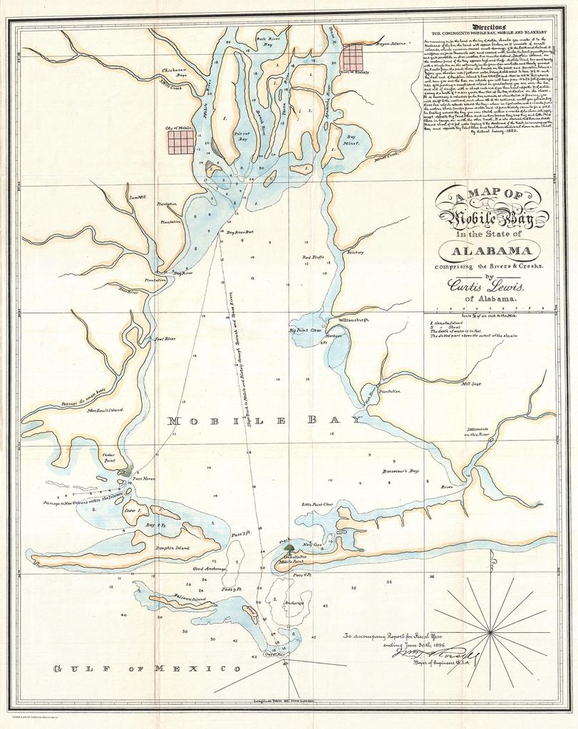
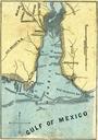
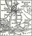
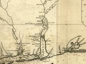
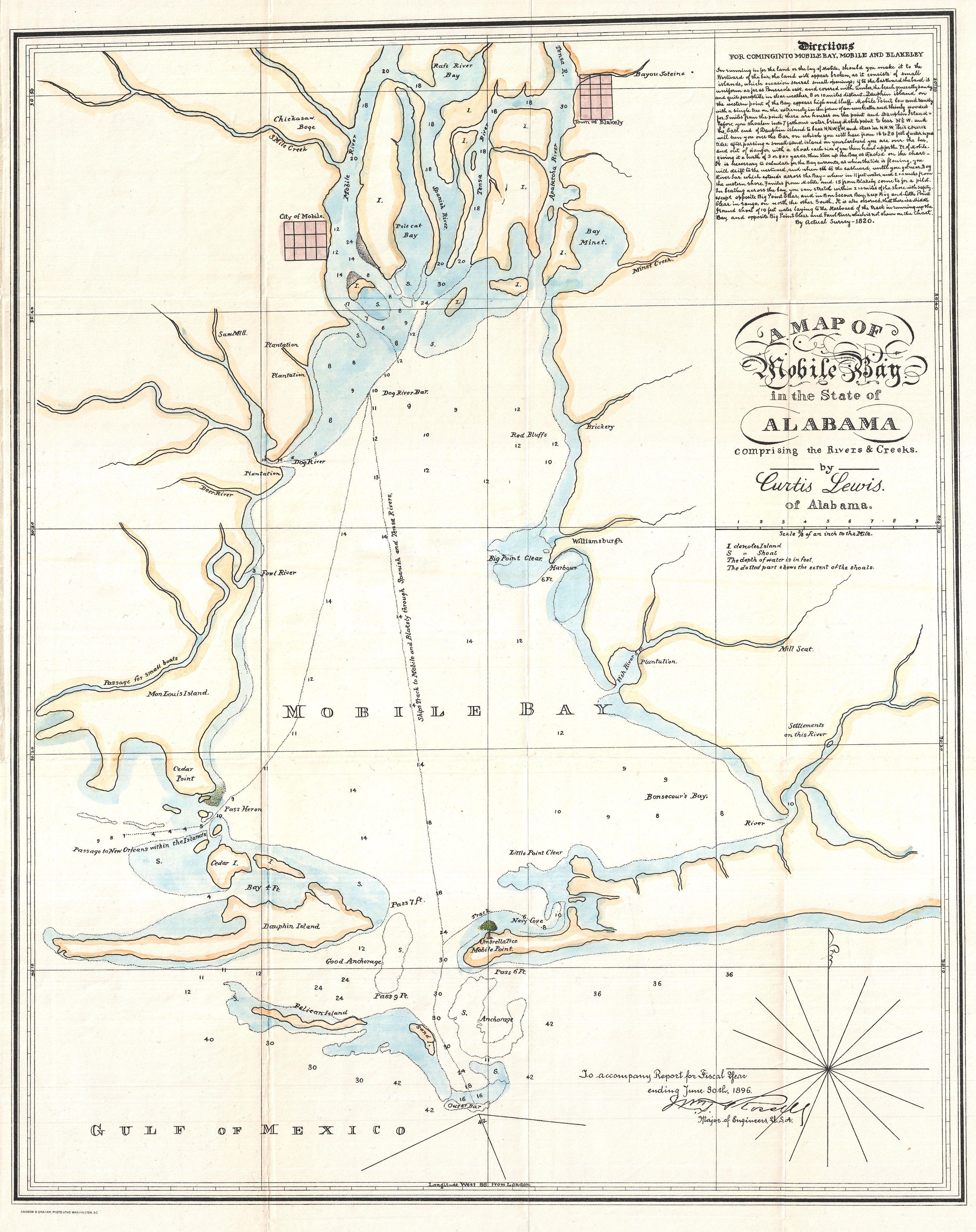
Lewis Map of Mobile Bay Alabama Geographicus MobileBaylewiss. This is an unusual map or nautical chart of Mobile Bay Alabama by Curtis Lewis Originally drawn in this example is reissue printed in for William Trent Rossell congressional Report This chart which predates the work of the Coast Survey in this region offers detailed