Related Images


Download:
| Tiny | 219x128 | View | Download |
| Small | 439x256 | View | Download |
| Medium | 878x512 | View | Download |
| Large | 1757x1024 | View | Download |
| Original png | 4038x2353 | View | Download |
| Original as jpg | 4038x2353 | View | Download |
This image was acquired from
wikimedia. It was marked as Public Domain or CC0 and is free to use. To verify, go to the source and check the information there.
Looking for more info about this image?
Try a Google Reverse Image Search for it.
Try a Google Reverse Image Search for it.
Keywords from Image Description:
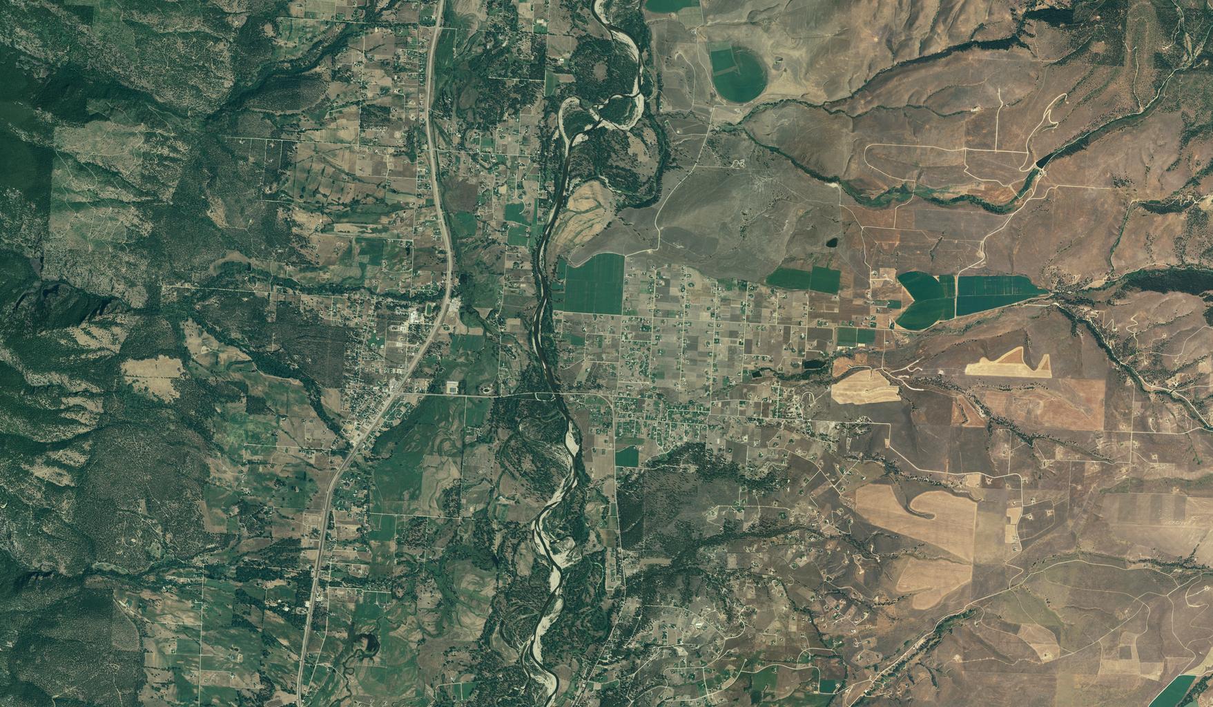
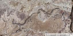
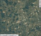
Florence MT NAIP. en Color aerial photograph of Florence MT and surrounding area from NAIP data Obtained through State of Montana's NAIP ArcIMS server mt gov html Farm Services Agency This is one tile level above maximum zoom resolution thus making this resolution believe Export from ArcMap was at scale at dpi PDUSGov