
Related Images


Download:
| Tiny | 179x128 | View | Download |
| Small | 359x256 | View | Download |
| Medium | 719x512 | View | Download |
| Large | 1438x1024 | View | Download |
| Original | 1920x1367 | View | Download |
This image was acquired from
wikimedia. It was marked as Public Domain or CC0 and is free to use. To verify, go to the source and check the information there.
Looking for more info about this image?
Try a Google Reverse Image Search for it.
Try a Google Reverse Image Search for it.
Keywords from Image Description:
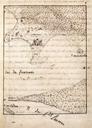
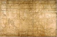
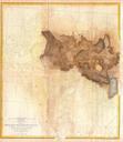
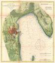
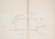
Map of the North Shore of Lake Ontario the Trent River and Rice Lake. Rice Lake the Trent River and the Bay of Quinte with portage routes TPL torontopubliclibrary ca jsp Entt RDMDCOHQMAPSR DCOHQMAPSR Map of the North Shore of Lake Ontario the Trent River and Rice Lake at the Toronto Public Library John Collins Historic maps of