
Related Images


Download:
| Tiny | 148x128 | View | Download |
| Small | 297x256 | View | Download |
| Medium | 595x512 | View | Download |
| Large | 1190x1024 | View | Download |
| Original | 3500x3011 | View | Download |
This image was acquired from
wikimedia. It was marked as Public Domain or CC0 and is free to use. To verify, go to the source and check the information there.
Looking for more info about this image?
Try a Google Reverse Image Search for it.
Try a Google Reverse Image Search for it.
Keywords from Image Description:
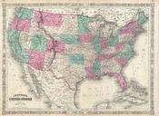
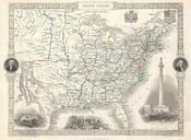
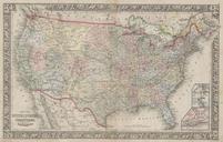
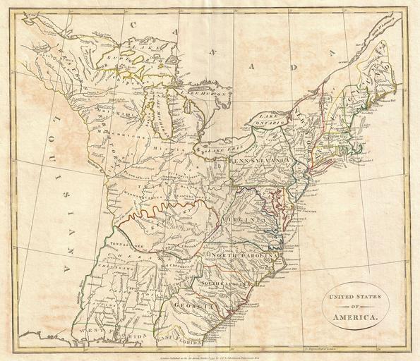
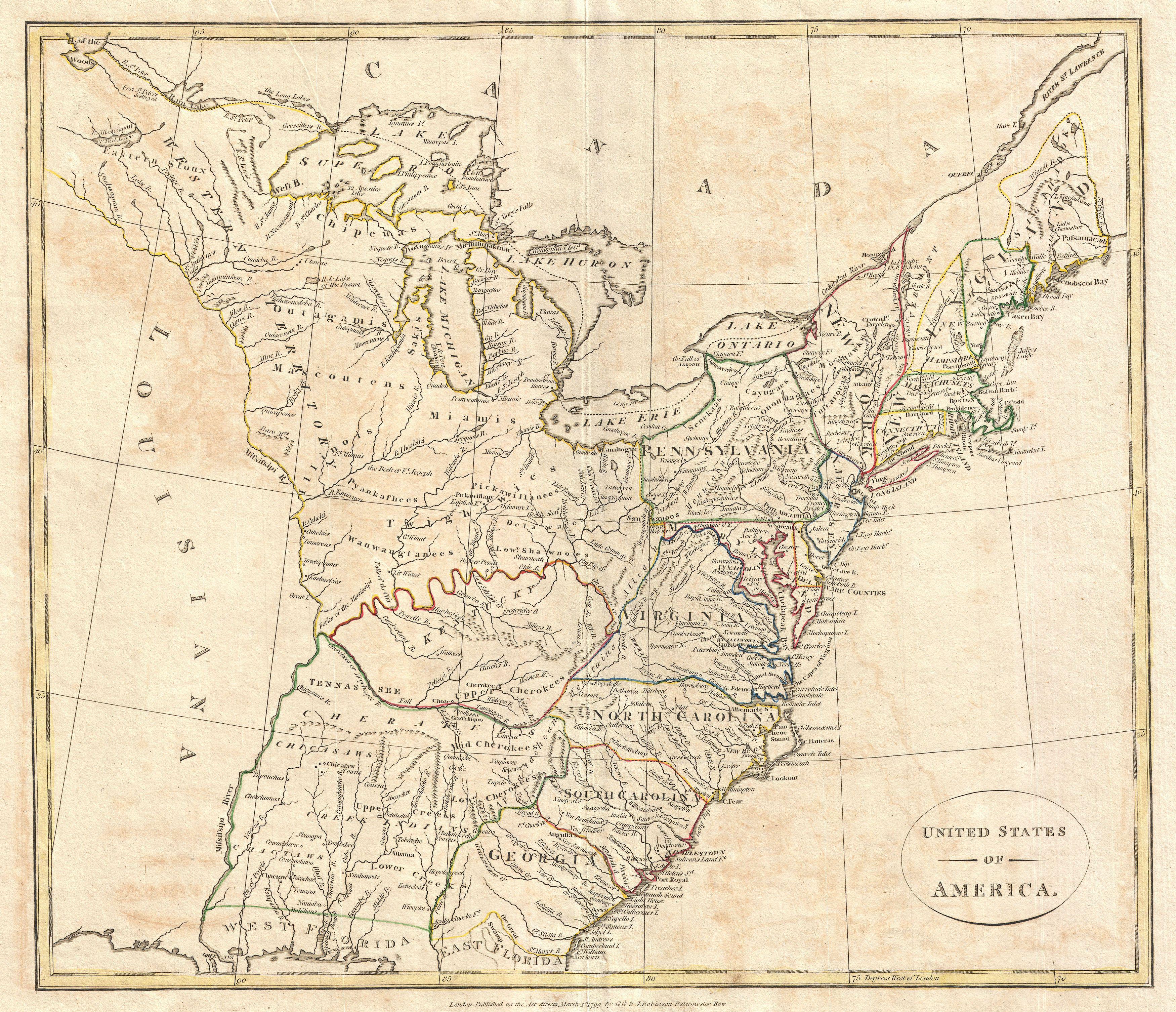
Cruttwell Map of the United States of America Geographicus UnitedStatescruttwell. This is highly unusual and extremely scarce map of the United States by the English map publisher Clement Cruttwell Depicts postcolonial preLouisiana United States extending from the Mississippi River to the Atlantic seaboard and from Florida to