
Related Images


Download:
| Tiny | 184x128 | View | Download |
| Small | 368x256 | View | Download |
| Medium | 736x512 | View | Download |
| Large | 1473x1024 | View | Download |
| Original png | 3653x2538 | View | Download |
| Original as jpg | 3653x2538 | View | Download |
This image was acquired from
wikimedia. It was marked as Public Domain or CC0 and is free to use. To verify, go to the source and check the information there.
Looking for more info about this image?
Try a Google Reverse Image Search for it.
Try a Google Reverse Image Search for it.
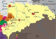
Keywords from Image Description:
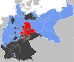
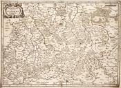
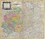
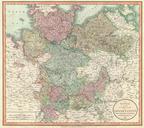
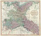
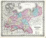
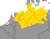
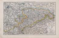
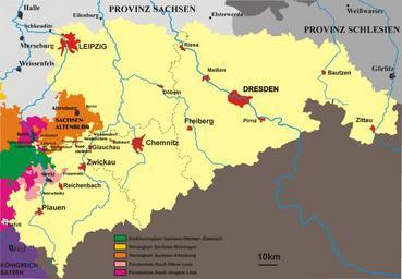
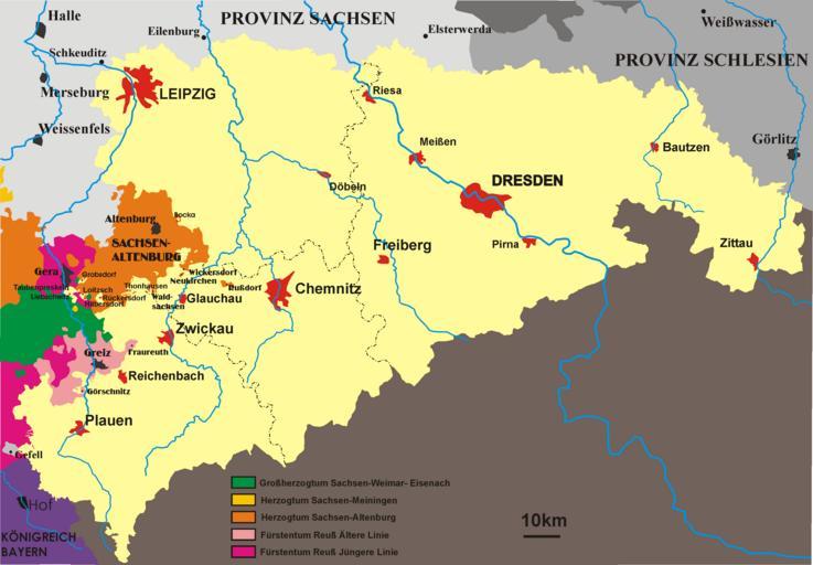
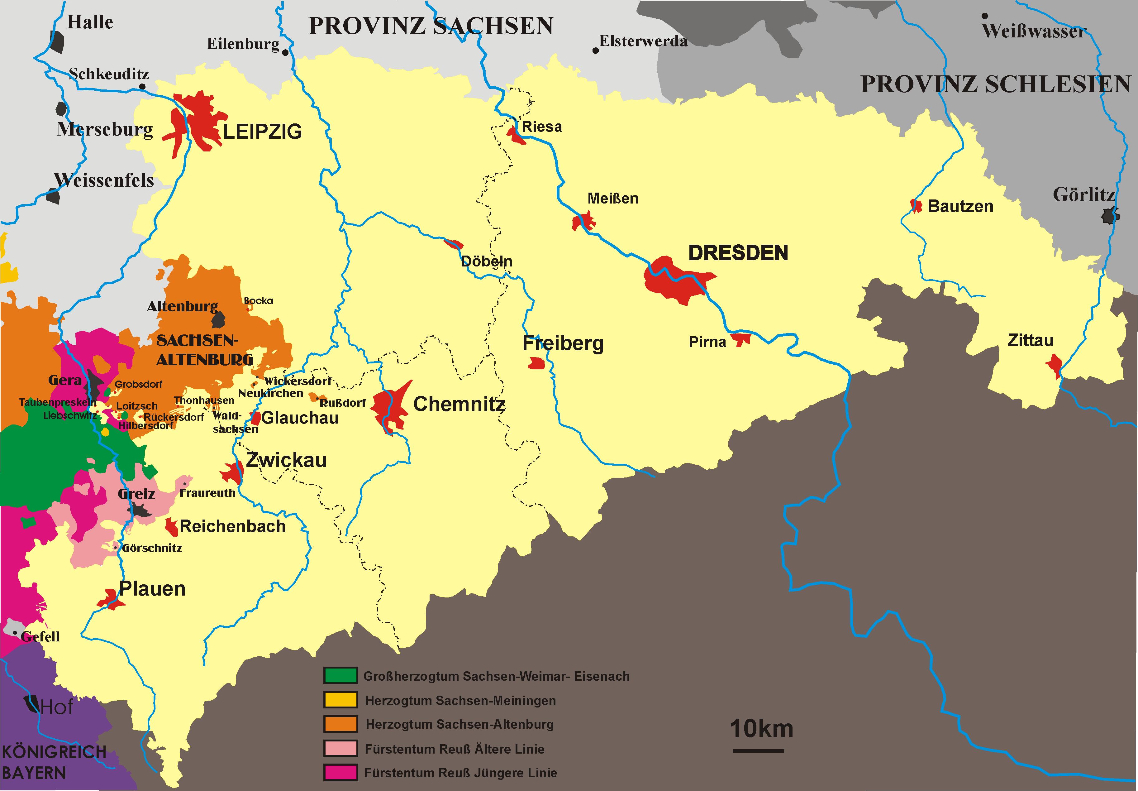
Mapsaxony. Map of kingdom Saxony in the th century self made by strfix own assumed Strfix ehemals Bild KarteSachsen Karte Knigreich Sachsen selbst gezeichnet Gemeinfrei Bei Korrekturen bitte mir Bescheid sagen damit ich die Zeichnung auf dem aktuellen Stand habe Maps of the Kingdom of Saxony