
Related Images


Download:
| Tiny | 98x128 | View | Download |
| Small | 196x256 | View | Download |
| Medium | 392x512 | View | Download |
| Large | 784x1024 | View | Download |
| Original tiff | 4640x6059 | View | Download |
| Original as jpg | 4640x6059 | View | Download |
This image was acquired from
wikimedia. It was marked as Public Domain or CC0 and is free to use. To verify, go to the source and check the information there.
Looking for more info about this image?
Try a Google Reverse Image Search for it.
Try a Google Reverse Image Search for it.
Keywords from Image Description:
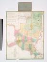
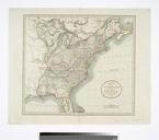
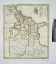
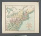
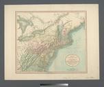
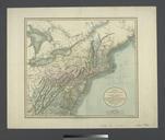
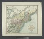
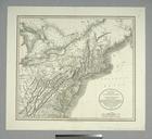
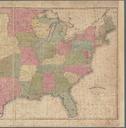
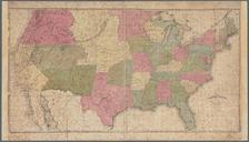
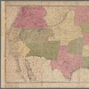
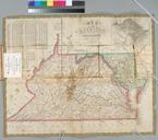
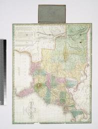
Map of the United States constructed from the latest authorities NYPL b. en The publisher is indebted to the politeness of Major Long for the use of his documents in the construction of that portion of this map west of the Mississippi River Includes statistical table listing states with areas populations capitals and populations