Download:
| Tiny | 144x128 | View | Download |
| Small | 289x256 | View | Download |
| Medium | 578x512 | View | Download |
| Large | 1156x1024 | View | Download |
| Original | 4550x4030 | View | Download |
This image was acquired from
wikimedia. It was marked as Public Domain or CC0 and is free to use. To verify, go to the source and check the information there.
Looking for more info about this image?
Try a Google Reverse Image Search for it.
Try a Google Reverse Image Search for it.
Keywords from Image Description:
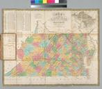
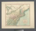
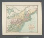
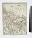
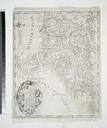
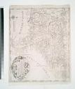
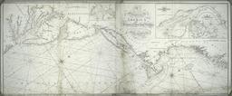
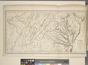
Map of Virginia and Maryland constructed from the latest authorities NYPL b. en Relief shown by hachures Includes statistical tables of population according to the census of Folded in leather cover cm nypl org Scan by NYPL Map of Virginia and Maryland constructed from the latest authorities Augustus Mitchell feccbfccccb Maps

