
Related Images


Download:
| Tiny | 184x128 | View | Download |
| Small | 369x256 | View | Download |
| Medium | 738x512 | View | Download |
| Large | 1476x1024 | View | Download |
| Original | 10016x6945 | View | Download |
This image was acquired from
wikimedia. It was marked as Public Domain or CC0 and is free to use. To verify, go to the source and check the information there.
Looking for more info about this image?
Try a Google Reverse Image Search for it.
Try a Google Reverse Image Search for it.
Keywords from Image Description:
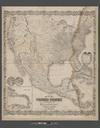
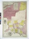
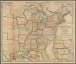
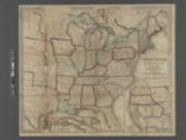
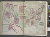
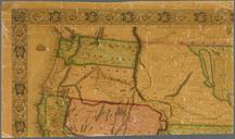
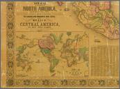
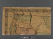
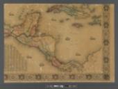
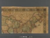
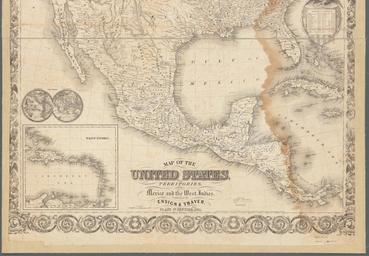
Map of the United States with its territories NYPL b. en Relief shown by hachures Also covers Central America Prime meridians Washington and Greenwich Longitude coordinates expressed here as measured from Greenwich Insets Population of the United States statistics The world map West Indies map Mapping the Nation NEH grant nypl