Related Images


Download:
| Tiny | 158x128 | View | Download |
| Small | 317x256 | View | Download |
| Medium | 634x512 | View | Download |
| Large | 1269x1024 | View | Download |
| Original | 3290x2653 | View | Download |
This image was acquired from
wikimedia. It was marked as Public Domain or CC0 and is free to use. To verify, go to the source and check the information there.
Looking for more info about this image?
Try a Google Reverse Image Search for it.
Try a Google Reverse Image Search for it.
Keywords from Image Description:
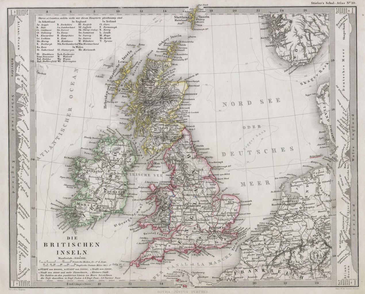
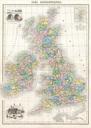
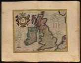
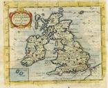
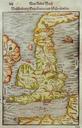
Stieler Map of the British Isles England Ireland Scotland Geographicus Britischenperthes. This fascinating map by Justus Perthes and Stieler depicts the British Isles including England Scotland and Ireland In cartographic flourish unique to Perthes land profiles of the region are depicts to the left and right of the map proper