Related Images


This image was acquired from
wikimedia. It was marked as Public Domain or CC0 and is free to use. To verify, go to the source and check the information there.
Looking for more info about this image?
Try a Google Reverse Image Search for it.
Try a Google Reverse Image Search for it.
Keywords from Image Description:
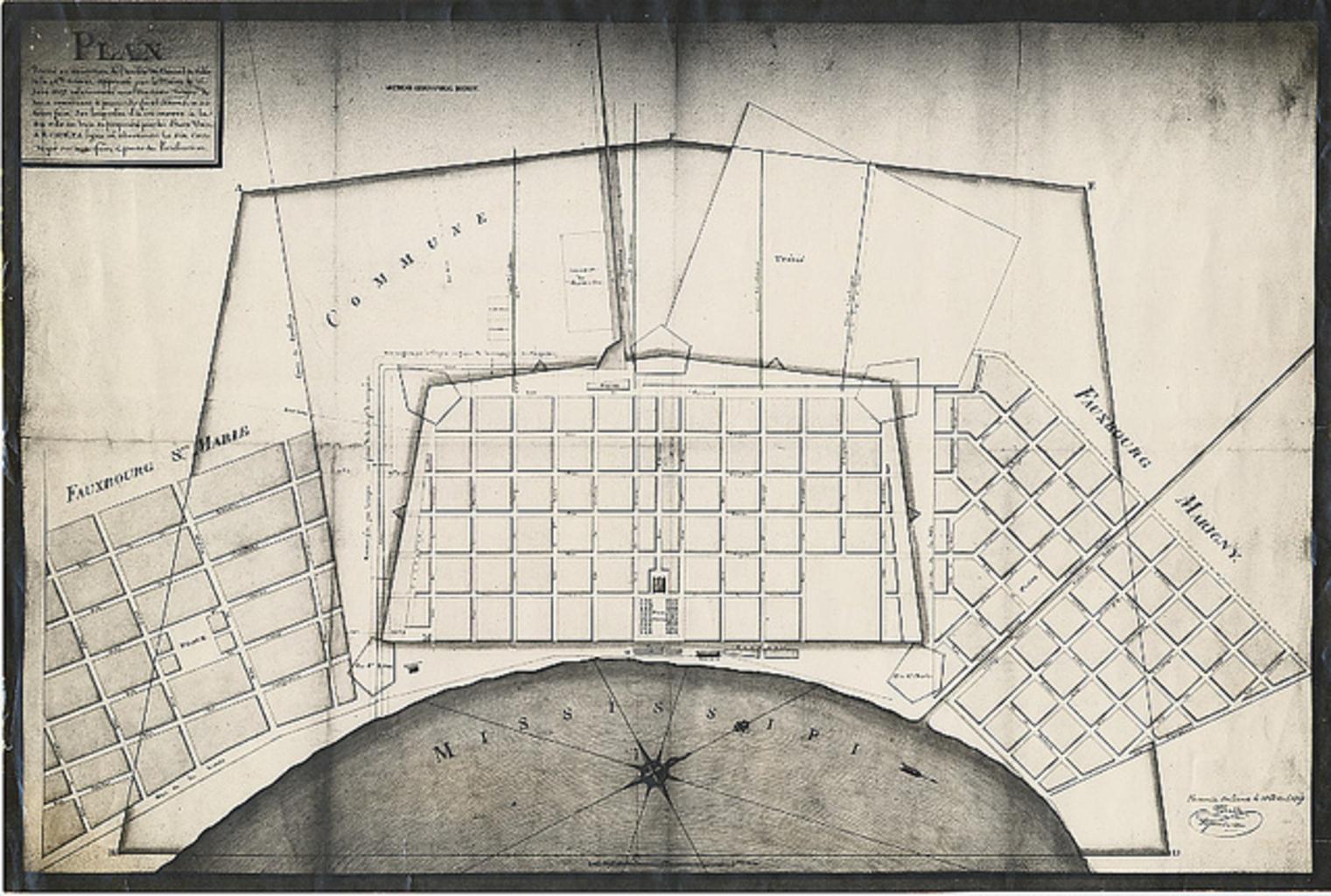
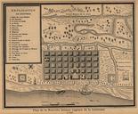
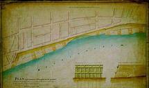
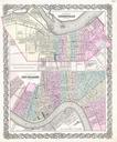
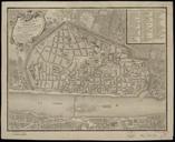
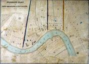
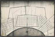
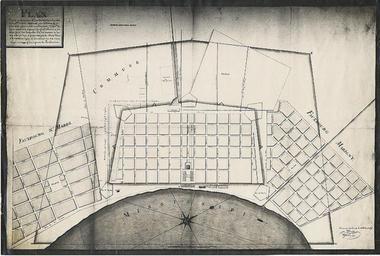
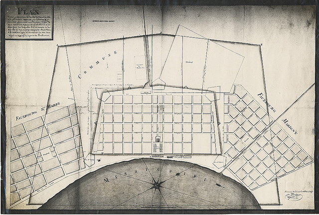
Plan of New Orleans . comes printed Jean Tanesse Note New Orleans surveyer and mapmaker Tanesse variously credited as John Jean and Jacques apparently same person PDUS PDArt Note False claim of copyright on source website for mechanical reproduction of copyright expired work maps in New Orleans old maps of New Orleans