
Related Images


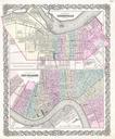
This image was acquired from
wikimedia. It was marked as Public Domain or CC0 and is free to use. To verify, go to the source and check the information there.
Looking for more info about this image?
Try a Google Reverse Image Search for it.
Try a Google Reverse Image Search for it.
Keywords from Image Description:
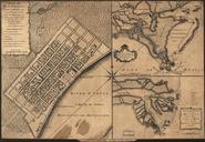
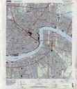
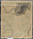
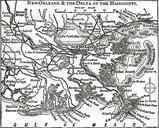
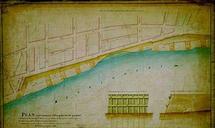
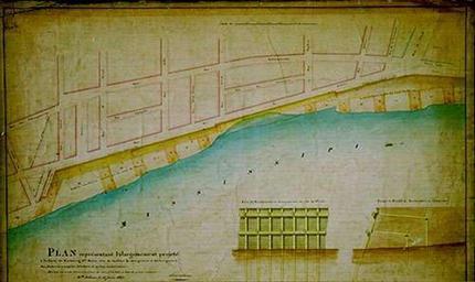
QuaySecondDistrict. New Orleans Plan and map of proposed improvements in the Mississippi River front levee quay system in the Second Municipality in what is now the Old Warehouse District Plan of the project to widen the levee of the Second Municipality in order to facilitate the loading and unloading of steamboats flatboats and