Related Images


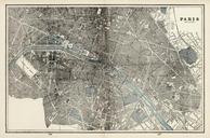

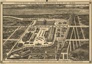
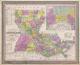


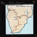
Download:
| Tiny | 175x128 | View | Download |
| Small | 351x256 | View | Download |
| Medium | 703x512 | View | Download |
| Large | 1407x1024 | View | Download |
| Original | 11151x8111 | View | Download |
This image was acquired from
wikimedia. It was marked as Public Domain or CC0 and is free to use. To verify, go to the source and check the information there.
Looking for more info about this image?
Try a Google Reverse Image Search for it.
Try a Google Reverse Image Search for it.
Keywords from Image Description:
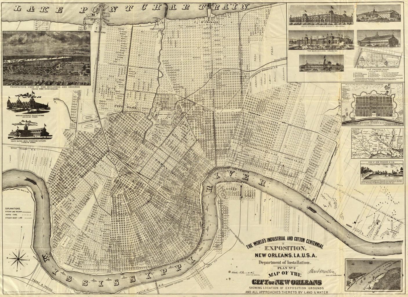
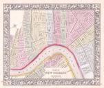
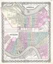
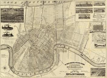
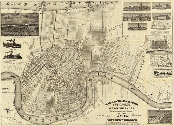
WorldIndustrialCottonMapNOLA. Map of New Orleans for the World's Fair The World's Industrial and Cotton Centennial Exposition New Orleans La Department of Installation Plan No Map of the City of New Orleans showing location of exposition grounds and all approaches thereto by land water Inserts show views of fairgrounds area railway