Related Images


Download:
| Tiny | 200x128 | View | Download |
| Small | 401x256 | View | Download |
| Medium | 802x512 | View | Download |
| Large | 1605x1024 | View | Download |
| Original | 4000x2551 | View | Download |
This image was acquired from
wikimedia. It was marked as Public Domain or CC0 and is free to use. To verify, go to the source and check the information there.
Looking for more info about this image?
Try a Google Reverse Image Search for it.
Try a Google Reverse Image Search for it.
Keywords from Image Description:
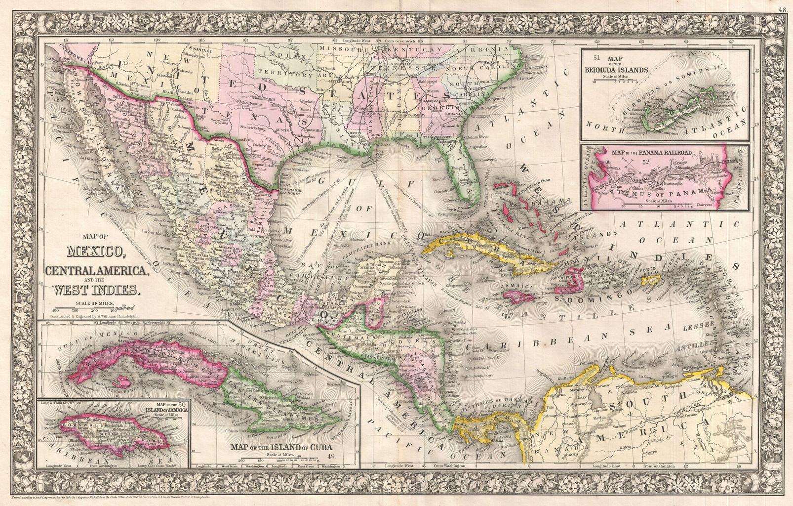
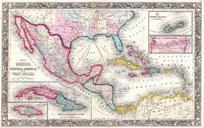
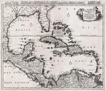
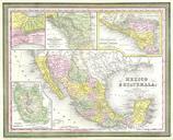
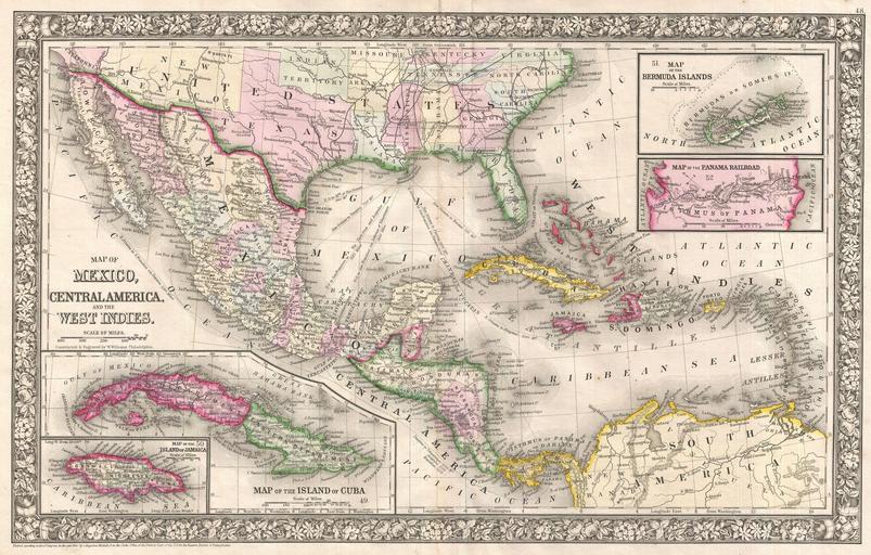
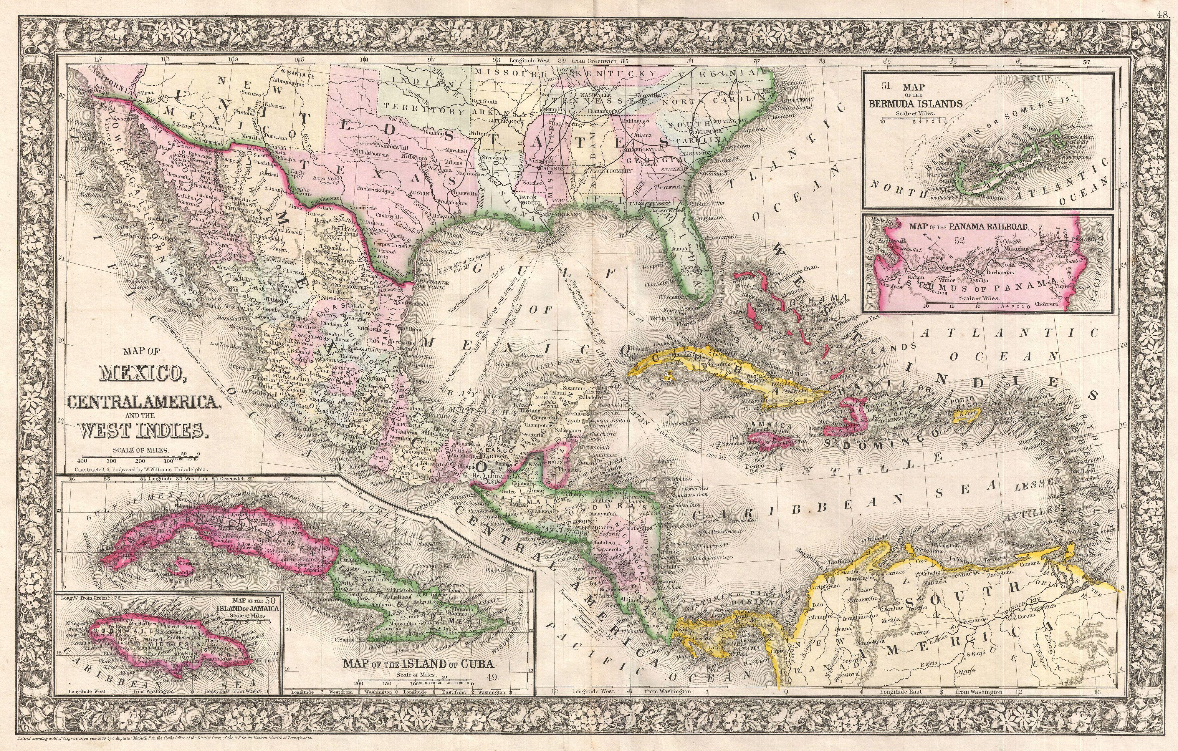
Mitchell Map of Mexico and the West Indies Geographicus WestIndiesmitchell. fine example of Mitchell map of Mexico Central America and the West Indies Centered on New Orleans this map covers all of Mexico the West Indies the Gulf of Mexico the Caribbean Sea the Greater and Lesser Antilles the northern parts of South America and