Related Images

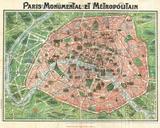
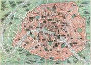
Download:
| Tiny | 168x128 | View | Download |
| Small | 336x256 | View | Download |
| Medium | 673x512 | View | Download |
| Large | 1346x1024 | View | Download |
| Original | 3000x2282 | View | Download |
This image was acquired from
wikimedia. It was marked as Public Domain or CC0 and is free to use. To verify, go to the source and check the information there.
Looking for more info about this image?
Try a Google Reverse Image Search for it.
Try a Google Reverse Image Search for it.
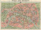
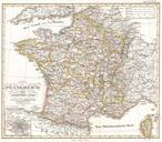
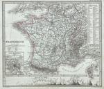
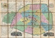
Keywords from Image Description:
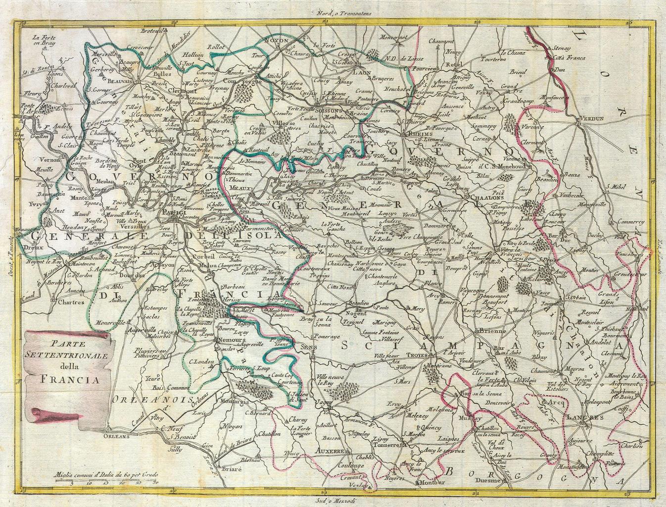
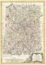
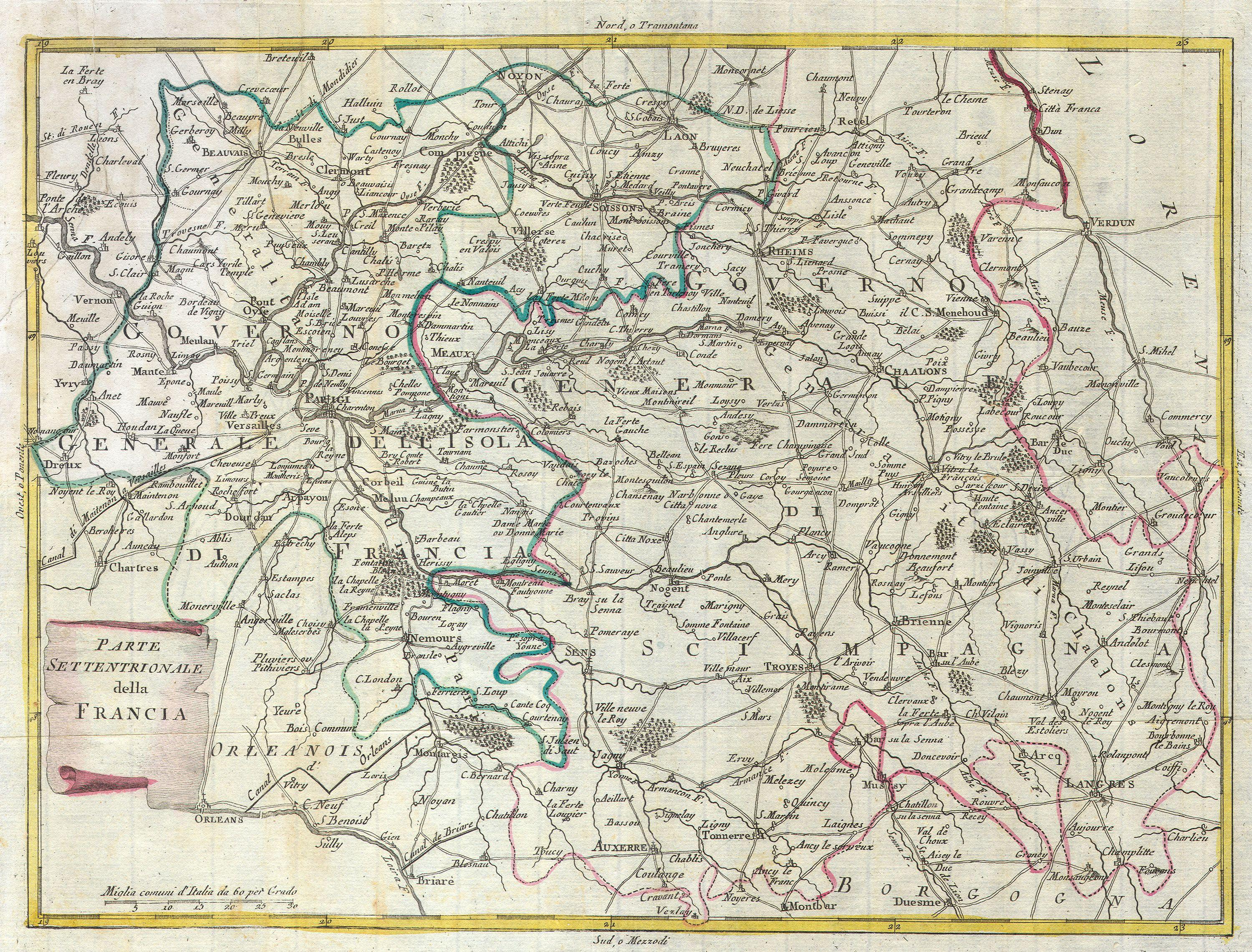
Zatta Map of Central France and the Vicinity of Paris Geographicus FranceCentralitalian. This map is hand colored depiction of central France the vicinity of Paris by an Zatta Map depicts France from Chartes in the West to Langres in the Southeast to Verdun in the Northeast Paris is central Map is beautifully rendered in the late