
Related Images


This image was acquired from
wikimedia. It was marked as Public Domain or CC0 and is free to use. To verify, go to the source and check the information there.
Looking for more info about this image?
Try a Google Reverse Image Search for it.
Try a Google Reverse Image Search for it.
Keywords from Image Description:
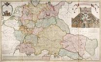
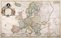
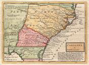
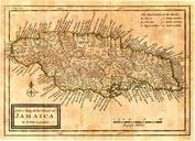
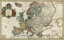
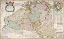
Herman Moll Map of Belgium. Herman Moll Les Provinces des PaysBas Catholiques ou Most Exact Map of Flanders of Austrian Netherlands It comprehends all the Towns Villages Abbeys Monasteries Throughout all these Provinces first published This print published by Bowles Bowles and John King London Handcoloured engraving Sheet size inches