Related Images


This image was acquired from
wikimedia. It was marked as Public Domain or CC0 and is free to use. To verify, go to the source and check the information there.
Looking for more info about this image?
Try a Google Reverse Image Search for it.
Try a Google Reverse Image Search for it.
Keywords from Image Description:
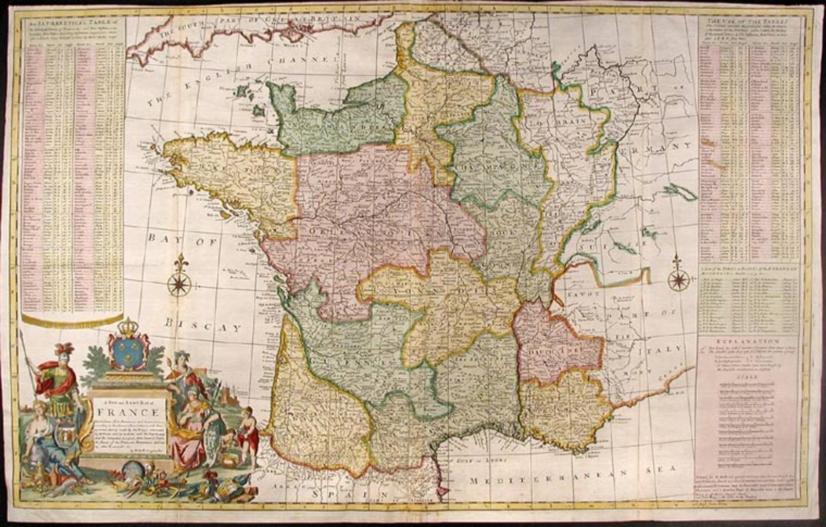
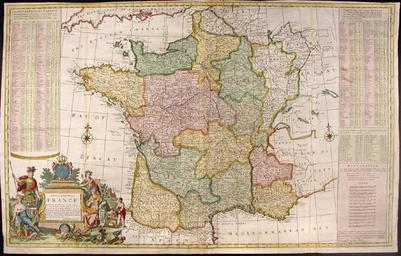
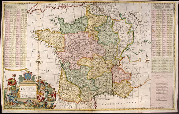
Herman Moll Map of France. Herman Moll New and Exact Map of France Dividid into all its Provinces and Acquisitions according to the Newest Observations and that accurate Survey made by the King's Command by Mr Picar and de la Hire with the Post Roads and the Computed Leagues from Town to Town and the Passes of the Pirenean Mountains