
Related Images


Download:
| Tiny | 136x128 | View | Download |
| Small | 272x256 | View | Download |
| Medium | 544x512 | View | Download |
| Large | 1089x1024 | View | Download |
| Original | 3500x3289 | View | Download |
This image was acquired from
wikimedia. It was marked as Public Domain or CC0 and is free to use. To verify, go to the source and check the information there.
Looking for more info about this image?
Try a Google Reverse Image Search for it.
Try a Google Reverse Image Search for it.
Keywords from Image Description:
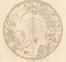
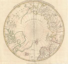
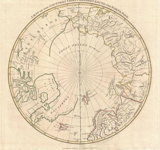
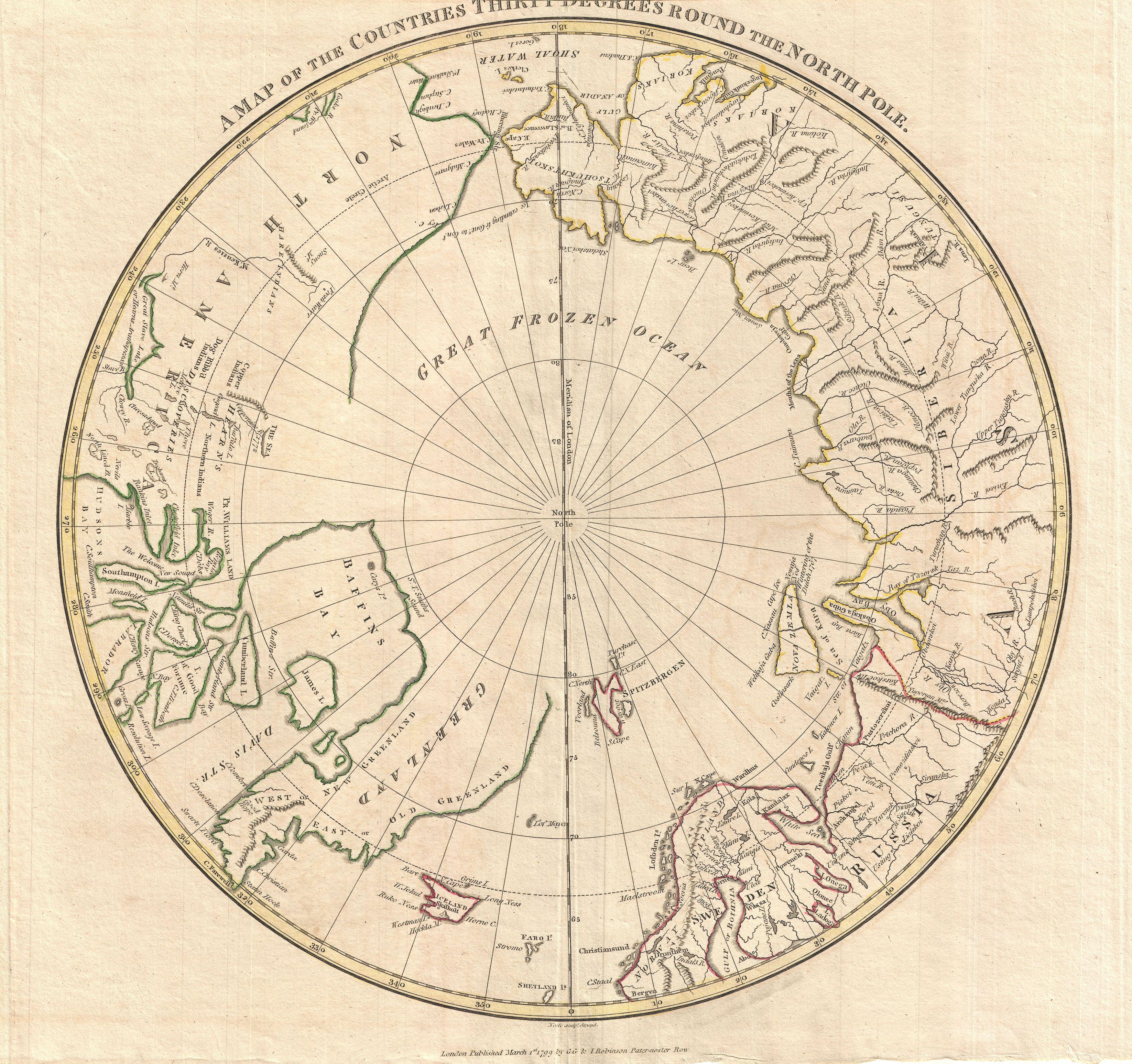
Clement Cruttwell Map of North Pole Geographicus NorthPolecruttwell. fine map of the northern polar regions by the English map publisher Clement Cruttwell Covers the polar regions from roughly degrees north latitude to the North Pole Reveals primitive yet ephemeral understanding of Arctic geography Evidence of the exploratory