
Related Images


Download:
| Tiny | 162x128 | View | Download |
| Small | 325x256 | View | Download |
| Medium | 650x512 | View | Download |
| Large | 1301x1024 | View | Download |
| Original | 4000x3146 | View | Download |
This image was acquired from
wikimedia. It was marked as Public Domain or CC0 and is free to use. To verify, go to the source and check the information there.
Looking for more info about this image?
Try a Google Reverse Image Search for it.
Try a Google Reverse Image Search for it.
Keywords from Image Description:
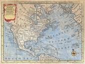
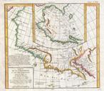
Zatta Map of California and the Western Parts of North America Geographicus AmericaWestzatta. Artwork of Fusang with regard to distance and geography corresponds more with the coastlands of North America than with Japan The French historian Joseph de Guignes in his article Le FouSang des Chinois estil l'Amrique promoted this idea