
Related Images

Download:
| Tiny | 88x128 | View | Download |
| Small | 176x256 | View | Download |
| Medium | 353x512 | View | Download |
| Large | 707x1024 | View | Download |
| Original | 1728x2500 | View | Download |
This image was acquired from
wikimedia. It was marked as Public Domain or CC0 and is free to use. To verify, go to the source and check the information there.
Looking for more info about this image?
Try a Google Reverse Image Search for it.
Try a Google Reverse Image Search for it.
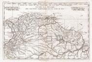
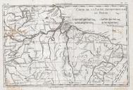
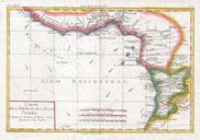
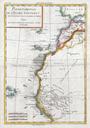
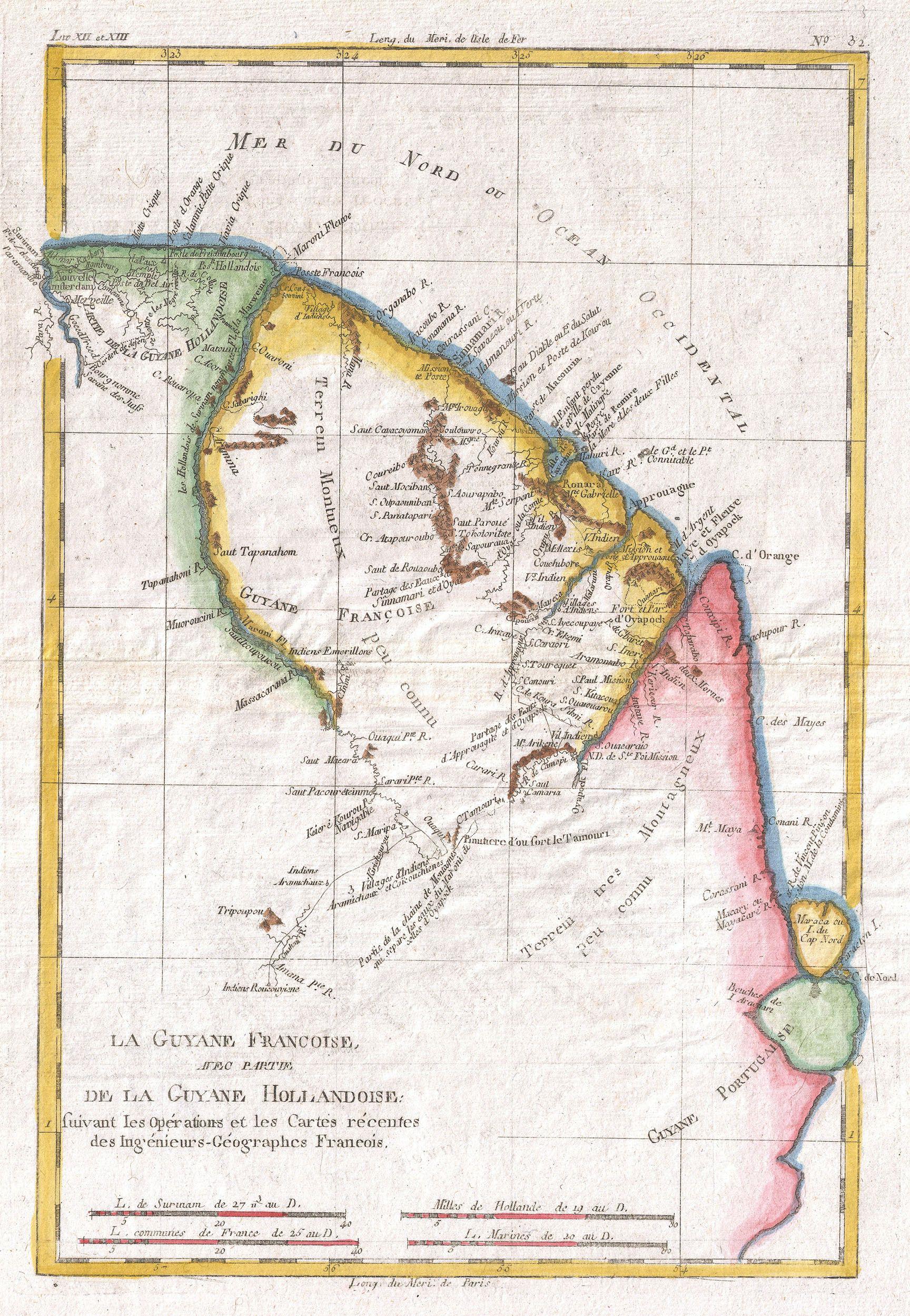
Keywords from Image Description:
Raynal and Bonne Map of Guyana and Surinam Geographicus Guyanebonne. fine example of Rigobert Bonne and Guilleme Raynal map of northeastern South America depicting Guyana Guyane Covers parts of British Guyana Dutch Surinam in the north French Guyana Guyane modern day Mayapa Brazilian state and Cap de Nord in the south Most of