Related Images

Download:
| Tiny | 189x128 | View | Download |
| Small | 379x256 | View | Download |
| Medium | 759x512 | View | Download |
| Large | 1519x1024 | View | Download |
| Original | 2500x1685 | View | Download |
This image was acquired from
wikimedia. It was marked as Public Domain or CC0 and is free to use. To verify, go to the source and check the information there.
Looking for more info about this image?
Try a Google Reverse Image Search for it.
Try a Google Reverse Image Search for it.
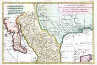
Keywords from Image Description:
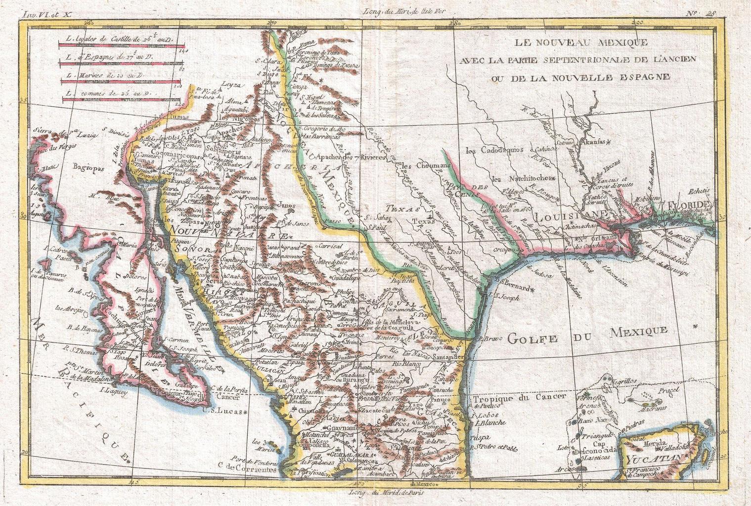
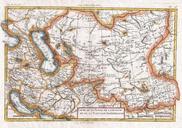
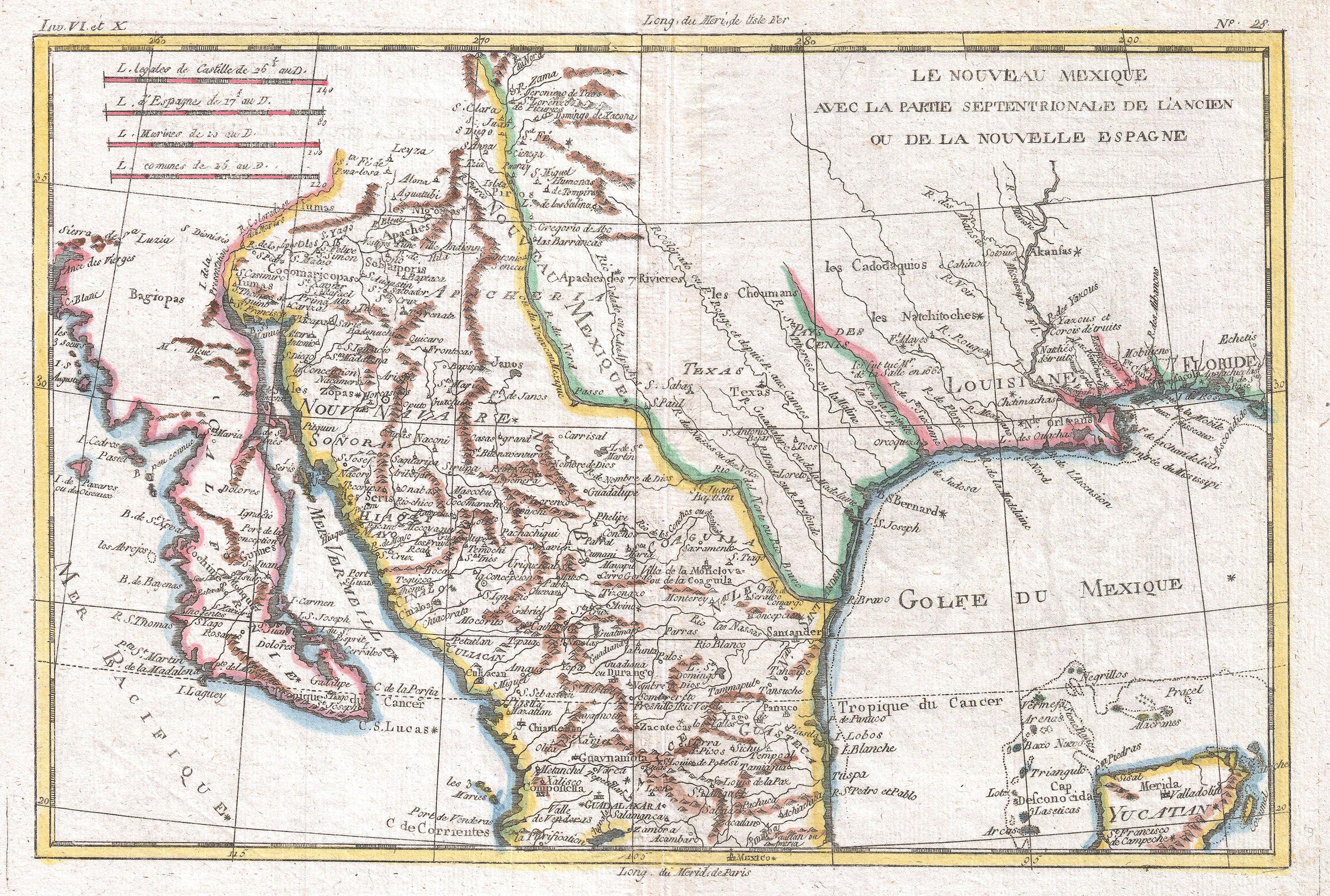
Raynal and Bonne Map of Mexico and Texas Geographicus NouveauMexiquebonne. This is beautiful Bonne map of northern Mexico and Texas Covers from the Pacific Ocean through Mexico Texas and Louisiana to western Florida extends north as far as the Mission of St Jeronimo de Taos just north of Santa Fe and south as far as Guadalajara