Related Images


Download:
| Tiny | 180x128 | View | Download |
| Small | 360x256 | View | Download |
| Medium | 721x512 | View | Download |
| Large | 1443x1024 | View | Download |
| Original | 2500x1773 | View | Download |
This image was acquired from
wikimedia. It was marked as Public Domain or CC0 and is free to use. To verify, go to the source and check the information there.
Looking for more info about this image?
Try a Google Reverse Image Search for it.
Try a Google Reverse Image Search for it.
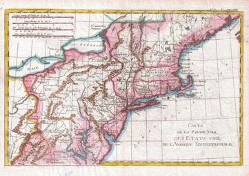
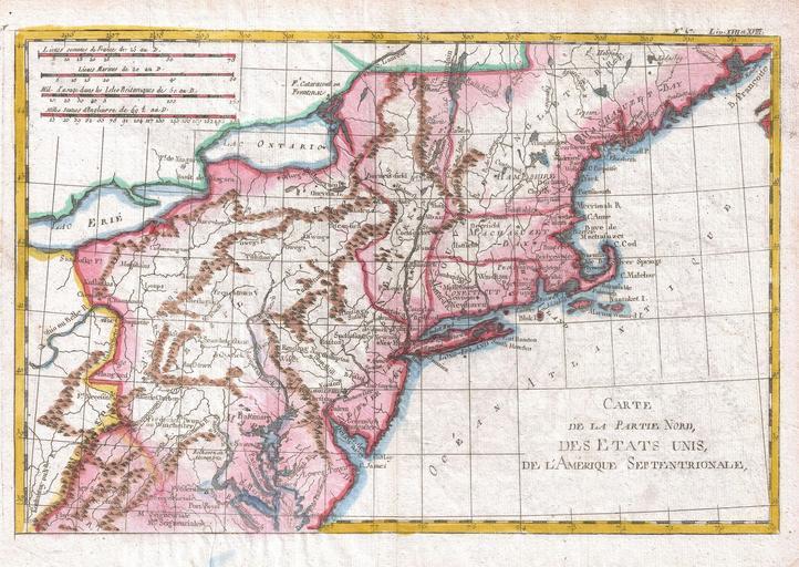
Keywords from Image Description:
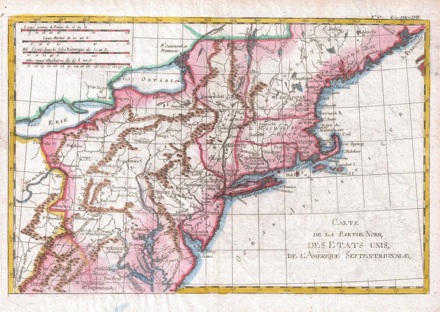
Raynal and Bonne Map of Northern United States Geographicus NordAmeriquebonne. fine example of Rigobert Bonne and Raynal map of the northeastern United States roughly corresponding to the modern day states of Maine New Hampshire Massachusetts Connecticut New York New Jersey Maryland and Pennsylvania Shows an early post colonial