Related Images


Download:
| Tiny | 144x128 | View | Download |
| Small | 288x256 | View | Download |
| Medium | 577x512 | View | Download |
| Large | 1154x1024 | View | Download |
| Original | 3500x3105 | View | Download |
This image was acquired from
wikimedia. It was marked as Public Domain or CC0 and is free to use. To verify, go to the source and check the information there.
Looking for more info about this image?
Try a Google Reverse Image Search for it.
Try a Google Reverse Image Search for it.
Keywords from Image Description:
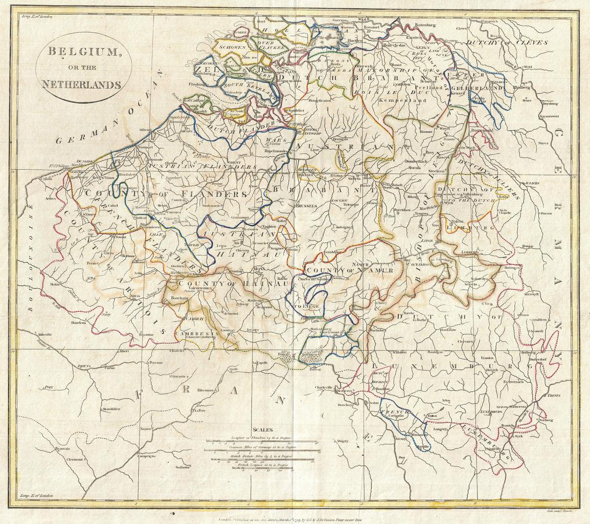
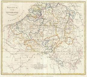
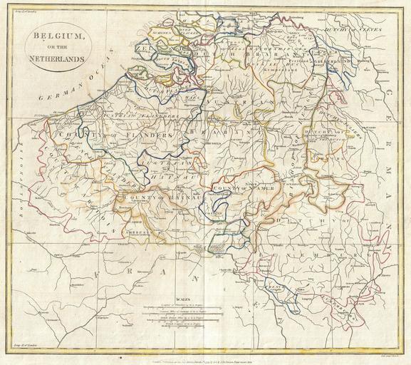
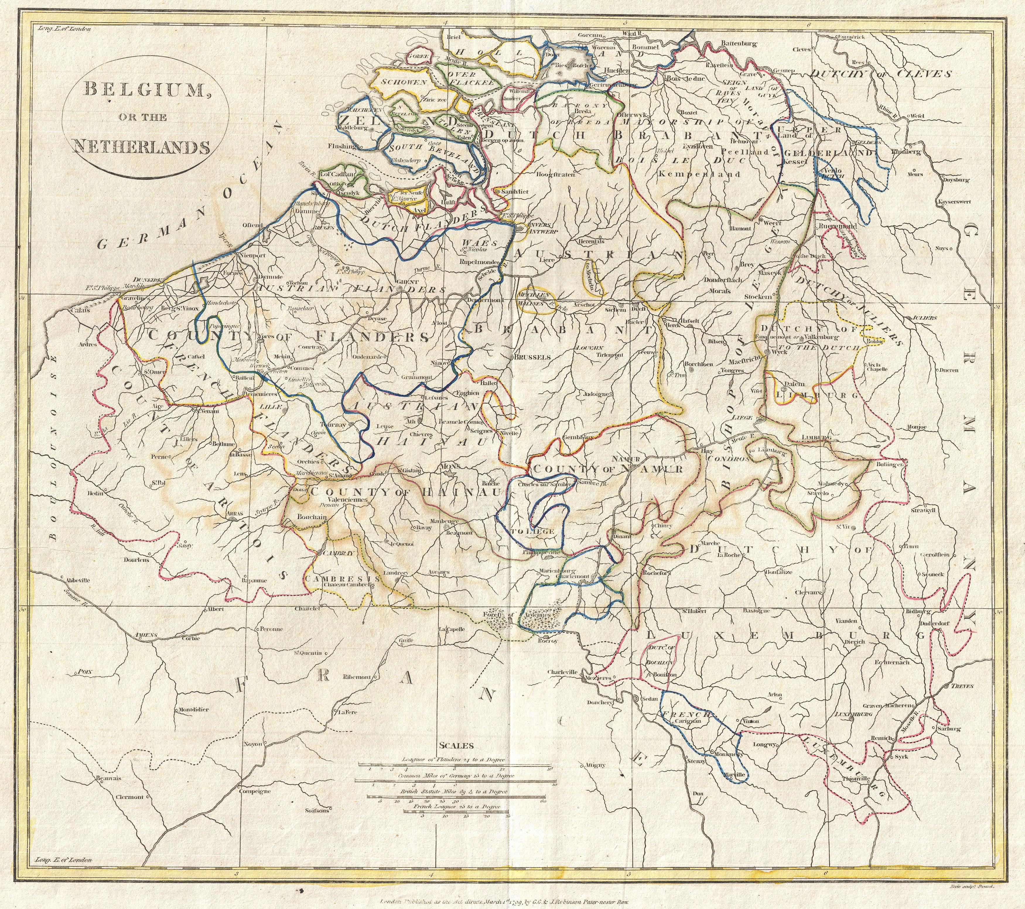
Clement Cruttwell Map of Belgium or the Netherlands Geographicus Belgiumcruttwell. fine map of Belgium and parts of the Netherlands by the English map publisher Clement Cruttwell Focuses mainly on the modern day Belgium Includes the Dutch regions Schowen Brabant with parts of Holland Features the County of Flanders Austrian Brabant