Related Images


Download:
| Tiny | 108x128 | View | Download |
| Small | 216x256 | View | Download |
| Medium | 433x512 | View | Download |
| Large | 866x1024 | View | Download |
| Original | 2962x3500 | View | Download |
This image was acquired from
wikimedia. It was marked as Public Domain or CC0 and is free to use. To verify, go to the source and check the information there.
Looking for more info about this image?
Try a Google Reverse Image Search for it.
Try a Google Reverse Image Search for it.
Keywords from Image Description:
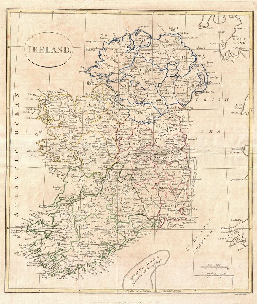
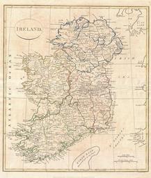
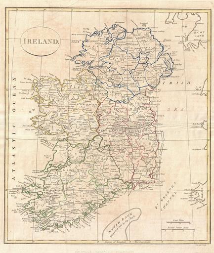
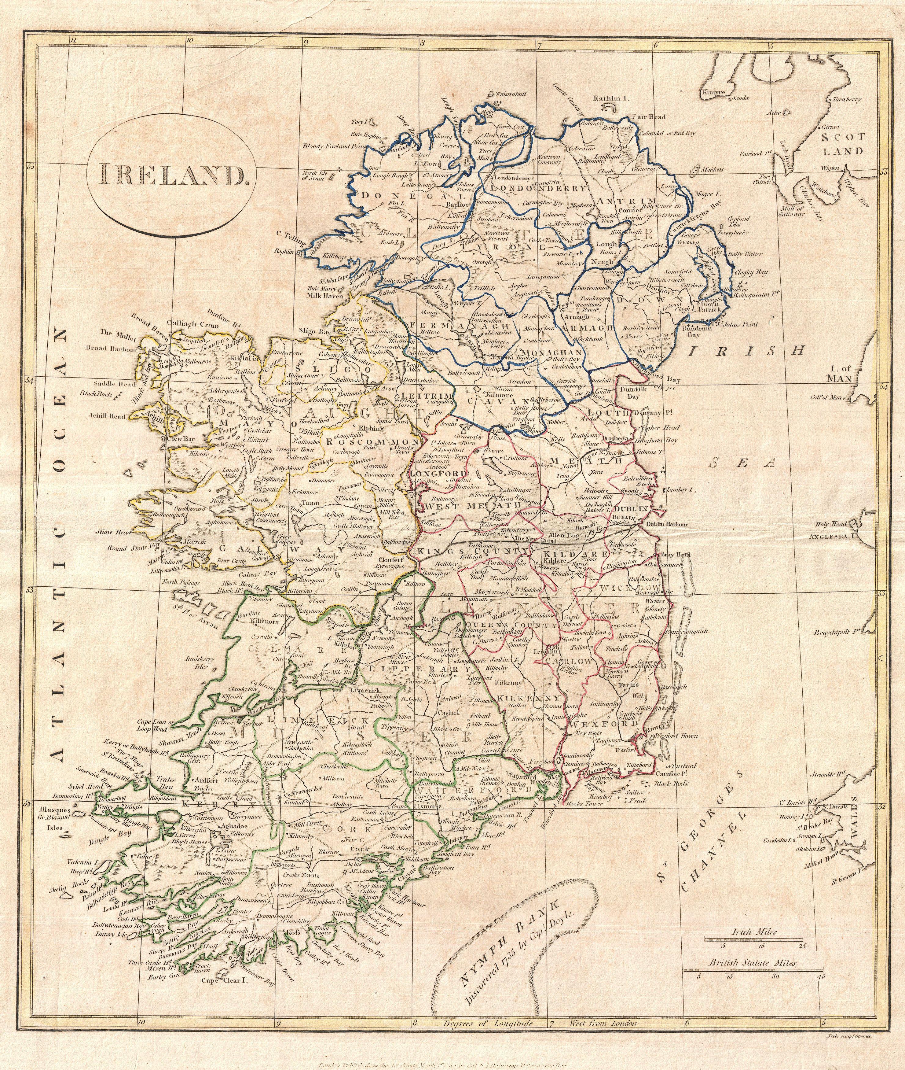
Clement Cruttwell Map of Ireland Geographicus Irelandcruttwell. fine map of Ireland by the English map publisher Clement Cruttwell Map shows Ireland's four provinces which remain the same to this day In the north is Ulster Connaught in the west Leinster in the east and Munster in the south Leinster is comprised of Carlow Dublin