
Related Images


Download:
| Tiny | 160x128 | View | Download |
| Small | 321x256 | View | Download |
| Medium | 642x512 | View | Download |
| Large | 1285x1024 | View | Download |
| Original | 5500x4382 | View | Download |
This image was acquired from
wikimedia. It was marked as Public Domain or CC0 and is free to use. To verify, go to the source and check the information there.
Looking for more info about this image?
Try a Google Reverse Image Search for it.
Try a Google Reverse Image Search for it.
Keywords from Image Description:
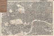
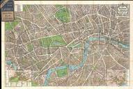
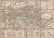
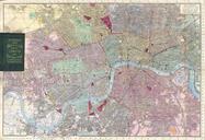
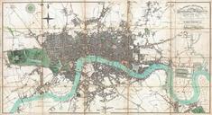
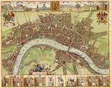
th century map of London W.Hollar. en th century map of London originally started by Hollar student of German engraver Mattheus Merian Published in the Netherlands It is not clear where this town plan of London was published Judging by the double portrait at the top the map was published after the accession to the English throne