
Related Images

Download:
| Tiny | 191x128 | View | Download |
| Small | 382x256 | View | Download |
| Medium | 764x512 | View | Download |
| Large | 1528x1024 | View | Download |
| Original | 5000x3350 | View | Download |
This image was acquired from
wikimedia. It was marked as Public Domain or CC0 and is free to use. To verify, go to the source and check the information there.
Looking for more info about this image?
Try a Google Reverse Image Search for it.
Try a Google Reverse Image Search for it.
Keywords from Image Description:
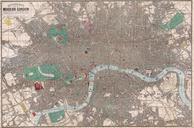
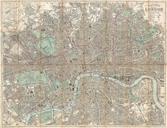
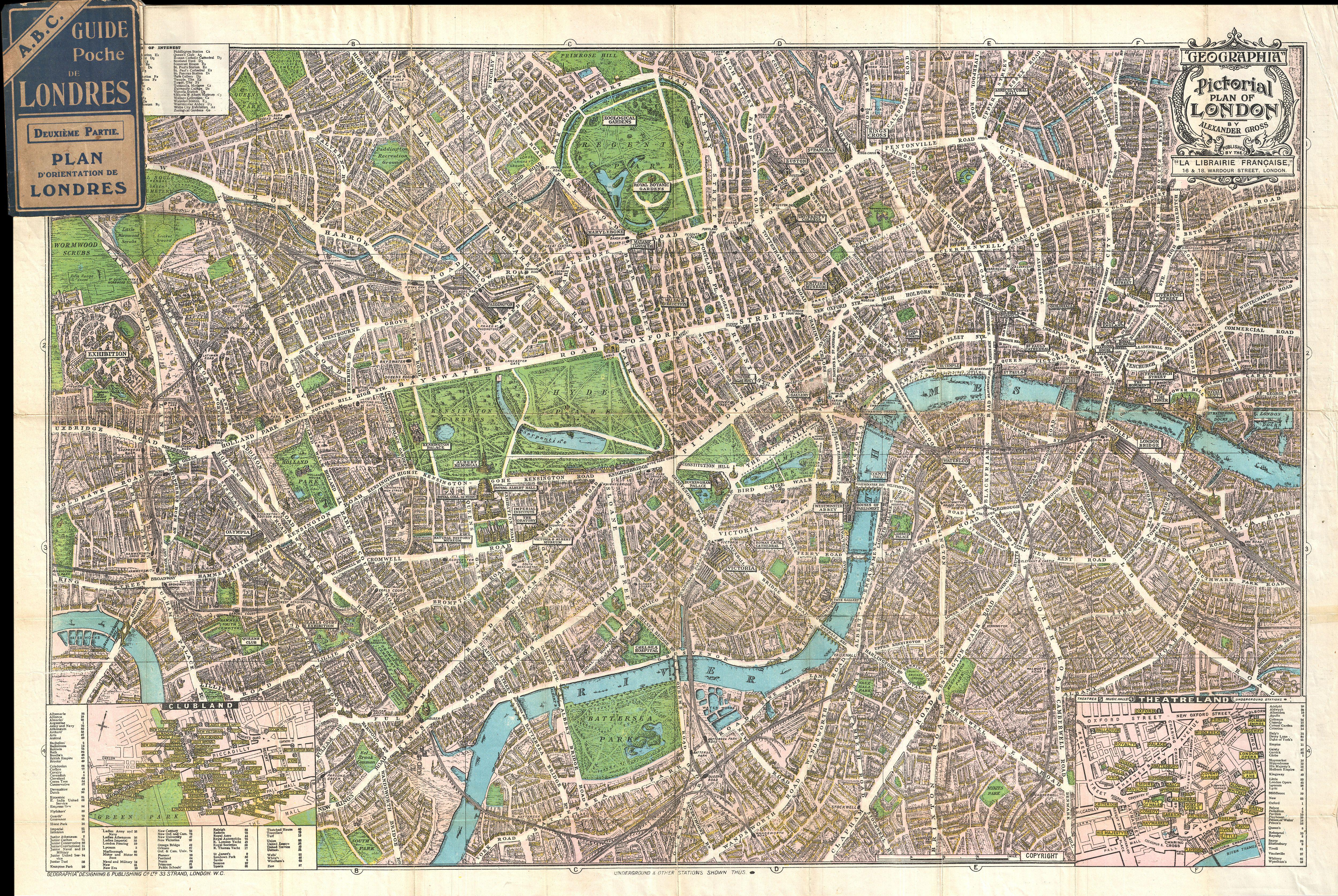
Geographia Pictorial Map of London England Geographicus Londongeographia. This is wonderful map of pocket map of London and published by Geographia Ltd Covers downtown London from the Hammersmith Bridge and Wormwood scrubs eastward past Hyde Park and Buckingham Place to Whitechapel Road and the London Docks Unlike most English