Related Images

Download:
| Tiny | 179x128 | View | Download |
| Small | 359x256 | View | Download |
| Medium | 718x512 | View | Download |
| Large | 1436x1024 | View | Download |
| Original | 4000x2852 | View | Download |
This image was acquired from
wikimedia. It was marked as Public Domain or CC0 and is free to use. To verify, go to the source and check the information there.
Looking for more info about this image?
Try a Google Reverse Image Search for it.
Try a Google Reverse Image Search for it.
Keywords from Image Description:
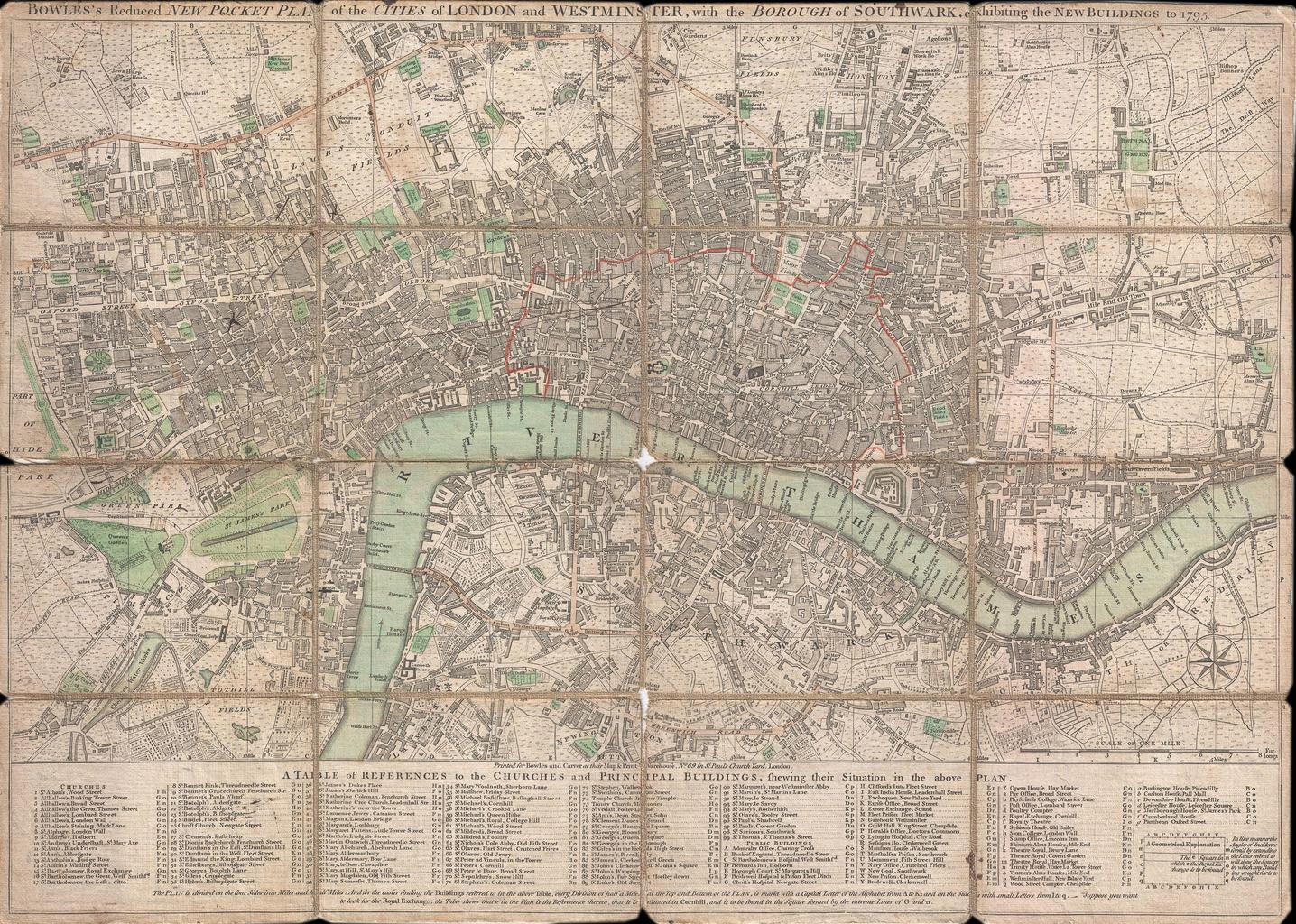
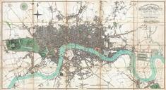
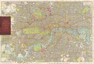
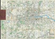
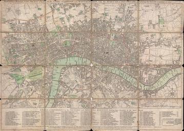
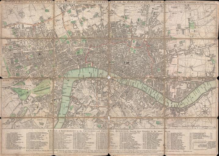
Bowles Pocket Map of London Geographicus Londonbowles. This is rare folding pocket map or street plan of London England by Carrington Bowles Covers London on both sides of the Thames River from Hyde Park in the west to White Horse Street in the East and from Lambeth in the south to Islington in the North Offers superb detail