
Related Images
Download:
| Tiny | 171x128 | View | Download |
| Small | 343x256 | View | Download |
| Medium | 686x512 | View | Download |
| Large | 1372x1024 | View | Download |
| Original | 9000x6715 | View | Download |
This image was acquired from
wikimedia. It was marked as Public Domain or CC0 and is free to use. To verify, go to the source and check the information there.
Looking for more info about this image?
Try a Google Reverse Image Search for it.
Try a Google Reverse Image Search for it.
Keywords from Image Description:
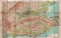
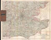
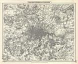
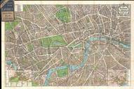
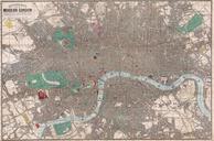
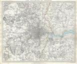
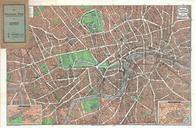
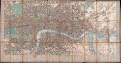
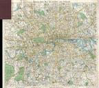
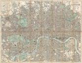
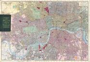
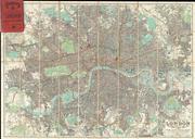
Bartholomew Fire Brigade Map of London England Geographicus Londonbartholomew. LargeImage An enormously proportioned and extremely unusual map of London England prepared by John Bartholomew Covers the entire city of London from Kenton in the northwest to Richmond Park in the southwest to Hospital Hill in the northeast and Longlands