Related Images


Download:
| Tiny | 153x128 | View | Download |
| Small | 307x256 | View | Download |
| Medium | 615x512 | View | Download |
| Large | 1231x1024 | View | Download |
| Original | 4000x3325 | View | Download |
This image was acquired from
wikimedia. It was marked as Public Domain or CC0 and is free to use. To verify, go to the source and check the information there.
Looking for more info about this image?
Try a Google Reverse Image Search for it.
Try a Google Reverse Image Search for it.
Keywords from Image Description:
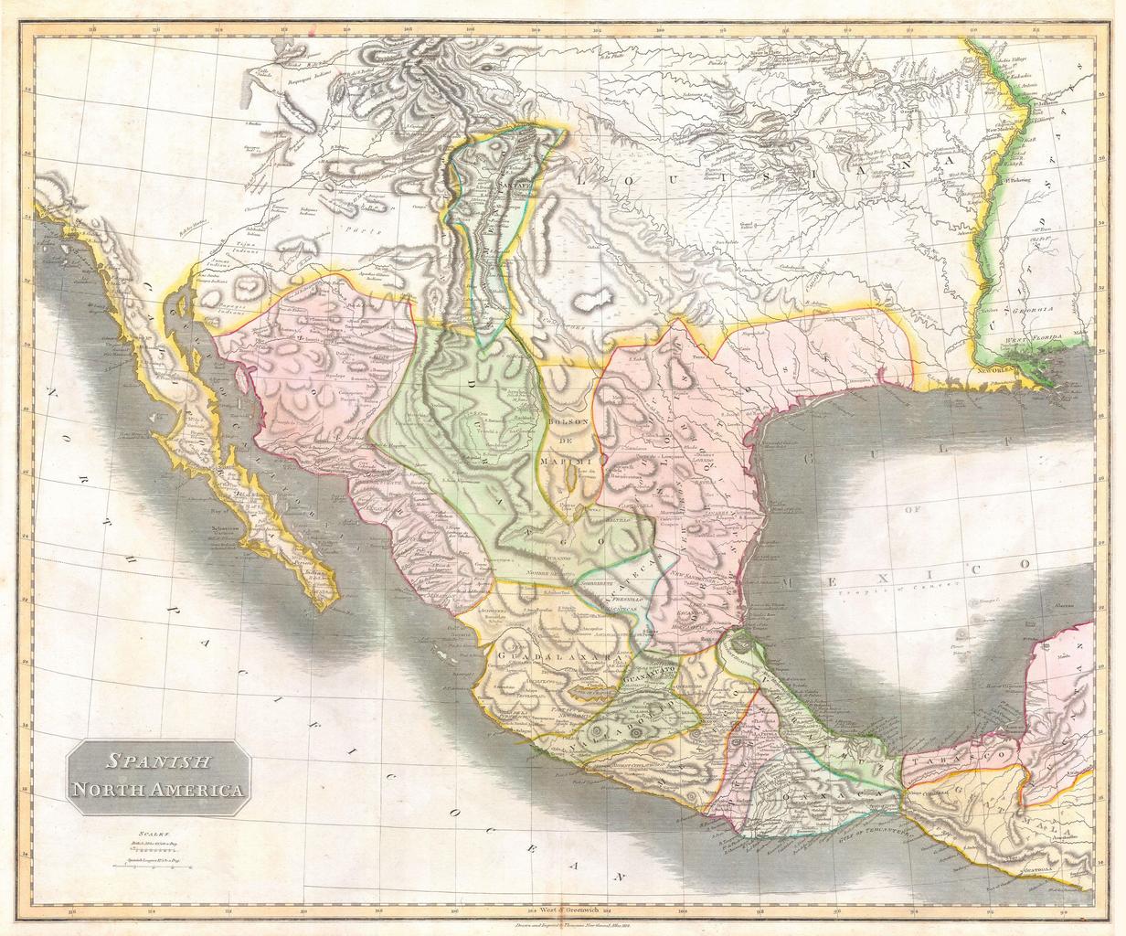
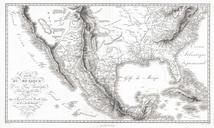
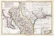
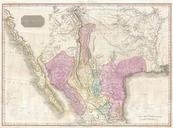
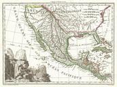
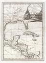
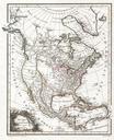
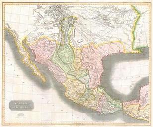
Thomson Map of Texas Mexico Louisiana Geographicus SpanishNorthAmert. This hand colored map along with Pinkerton similar map is most likely the most important large format English map of the American Southwest to be produced in the th century Depicts Mexico from the Yucatan north to what would become the Republic of Texas the