
Related Images


Download:
| Tiny | 157x128 | View | Download |
| Small | 315x256 | View | Download |
| Medium | 630x512 | View | Download |
| Large | 1260x1024 | View | Download |
| Original | 3117x2533 | View | Download |
This image was acquired from
wikimedia. It was marked as Public Domain or CC0 and is free to use. To verify, go to the source and check the information there.
Looking for more info about this image?
Try a Google Reverse Image Search for it.
Try a Google Reverse Image Search for it.
Keywords from Image Description:
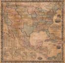
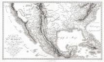
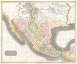
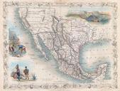
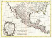
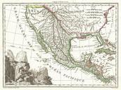
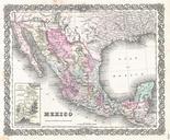
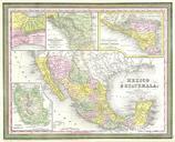
Mitchell Map of Mexico Texas Geographicus MexicoTexasm. This scarce hand colored map is lithographic engraving of Mexico Roughly covers the territory of modern day Mexico and Texas Inset maps depict the Valley of Mexico today Mexico City and Estado de Mexico Mexico State Inset maps along the upper border depict the Isthmus of