Related Images


Download:
| Tiny | 101x128 | View | Download |
| Small | 202x256 | View | Download |
| Medium | 405x512 | View | Download |
| Large | 810x1024 | View | Download |
| Original | 3166x4000 | View | Download |
This image was acquired from
wikimedia. It was marked as Public Domain or CC0 and is free to use. To verify, go to the source and check the information there.
Looking for more info about this image?
Try a Google Reverse Image Search for it.
Try a Google Reverse Image Search for it.
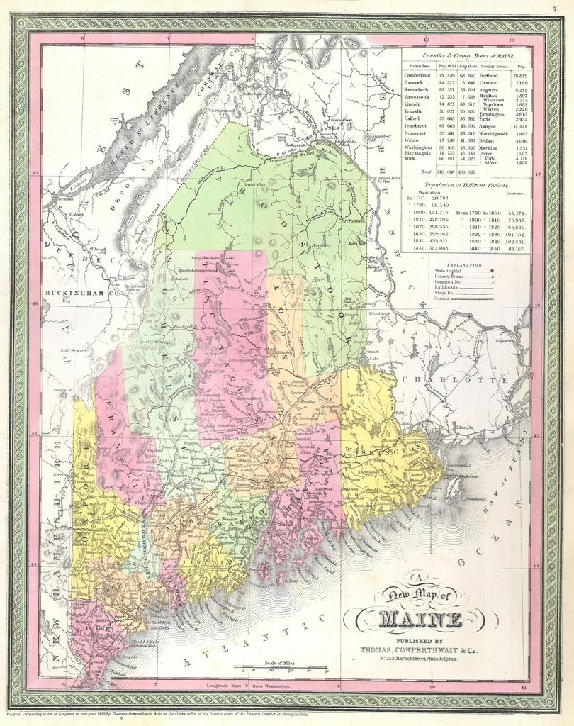
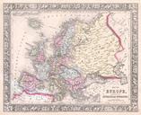
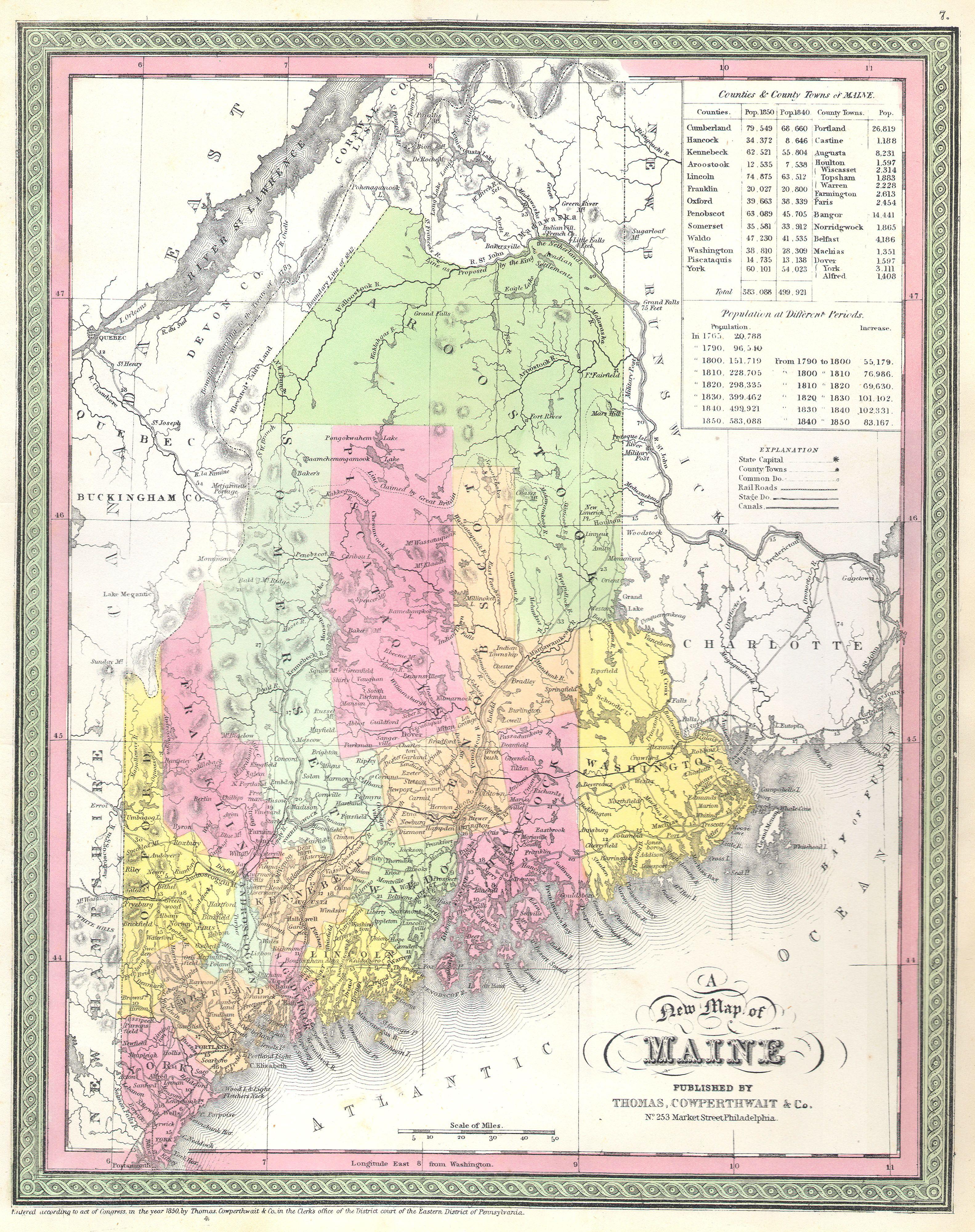
Keywords from Image Description:
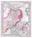
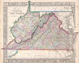
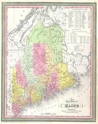
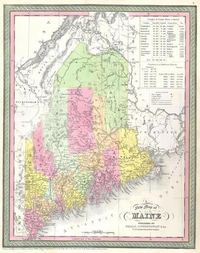
Mitchell Map of Maine Geographicus Mainemitchell. rare map of the state of Maine produced by Mitchell Sr in Depicts the state in full with superb detail regarding the cities transportation system geographical features and counties Shows the border according to the treaty of but also indicated borders from and another line representing