
Related Images


Download:
| Tiny | 110x128 | View | Download |
| Small | 220x256 | View | Download |
| Medium | 441x512 | View | Download |
| Large | 882x1024 | View | Download |
| Original | 4311x5000 | View | Download |
This image was acquired from
wikimedia. It was marked as Public Domain or CC0 and is free to use. To verify, go to the source and check the information there.
Looking for more info about this image?
Try a Google Reverse Image Search for it.
Try a Google Reverse Image Search for it.
Keywords from Image Description:
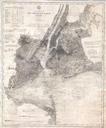
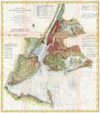
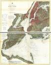
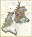
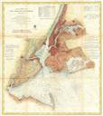
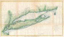
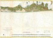
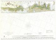
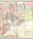
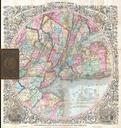
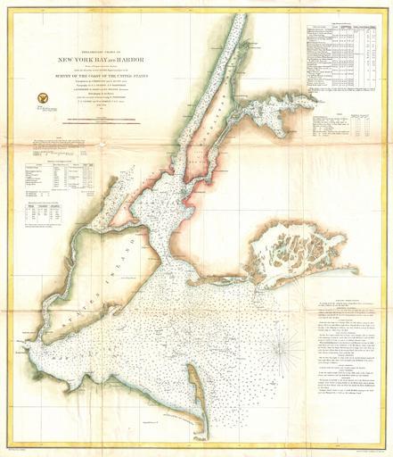
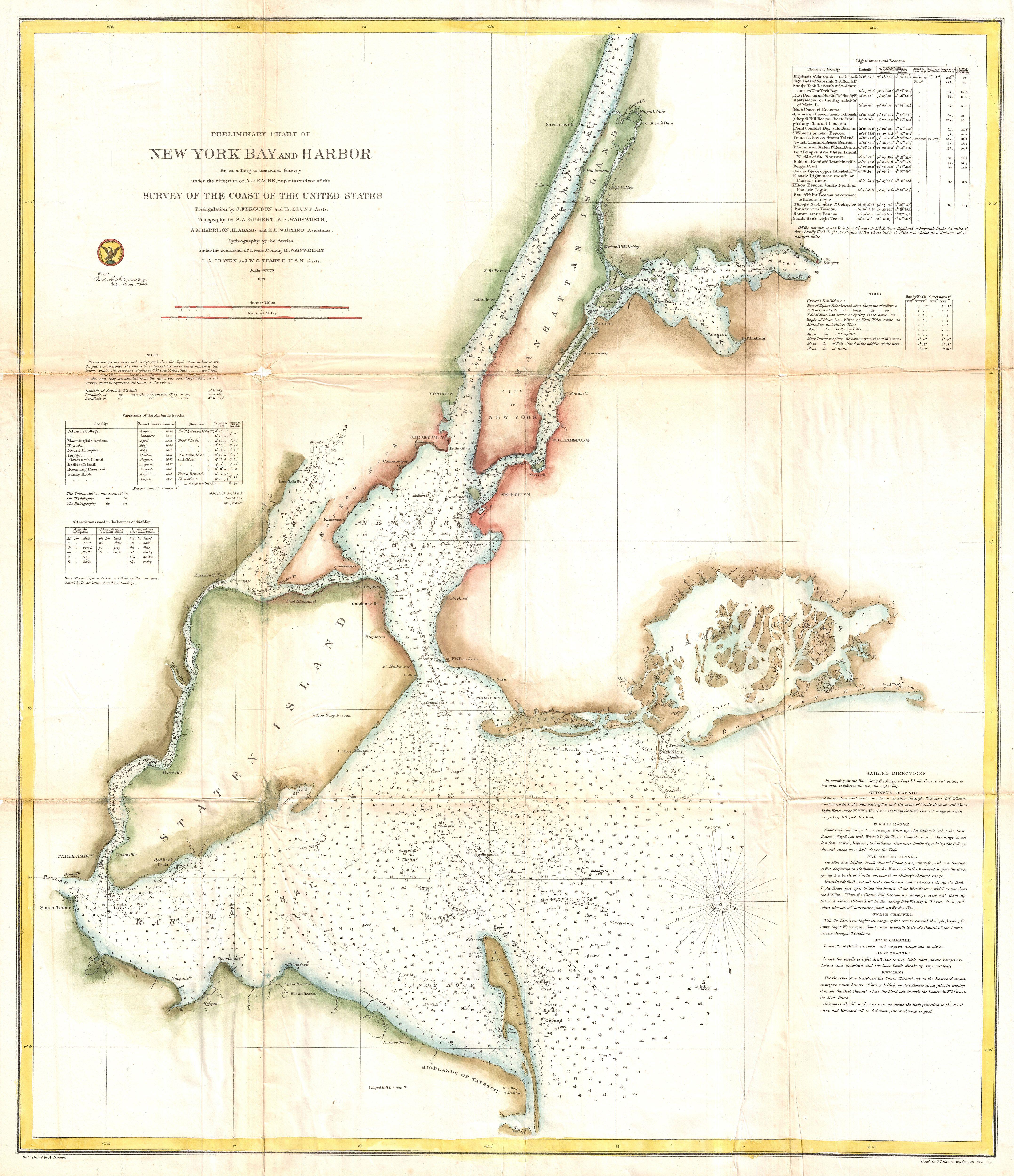
U.S. Coast Survey Map of New York City and Harbor Geographicus NewYorkCityuscs. rare coastal chart of New York City it harbor and environs One of the first th century carts to depicts New York City as we know it today including Manhattan Queens Brooklyn the Bronx and Staten Island Also includes Jersey City Newark and Hoboken