
Related Images


Download:
| Tiny | 160x128 | View | Download |
| Small | 320x256 | View | Download |
| Medium | 640x512 | View | Download |
| Large | 1281x1024 | View | Download |
| Original | 4000x3196 | View | Download |
This image was acquired from
wikimedia. It was marked as Public Domain or CC0 and is free to use. To verify, go to the source and check the information there.
Looking for more info about this image?
Try a Google Reverse Image Search for it.
Try a Google Reverse Image Search for it.
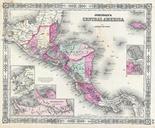
Keywords from Image Description:
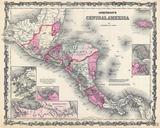
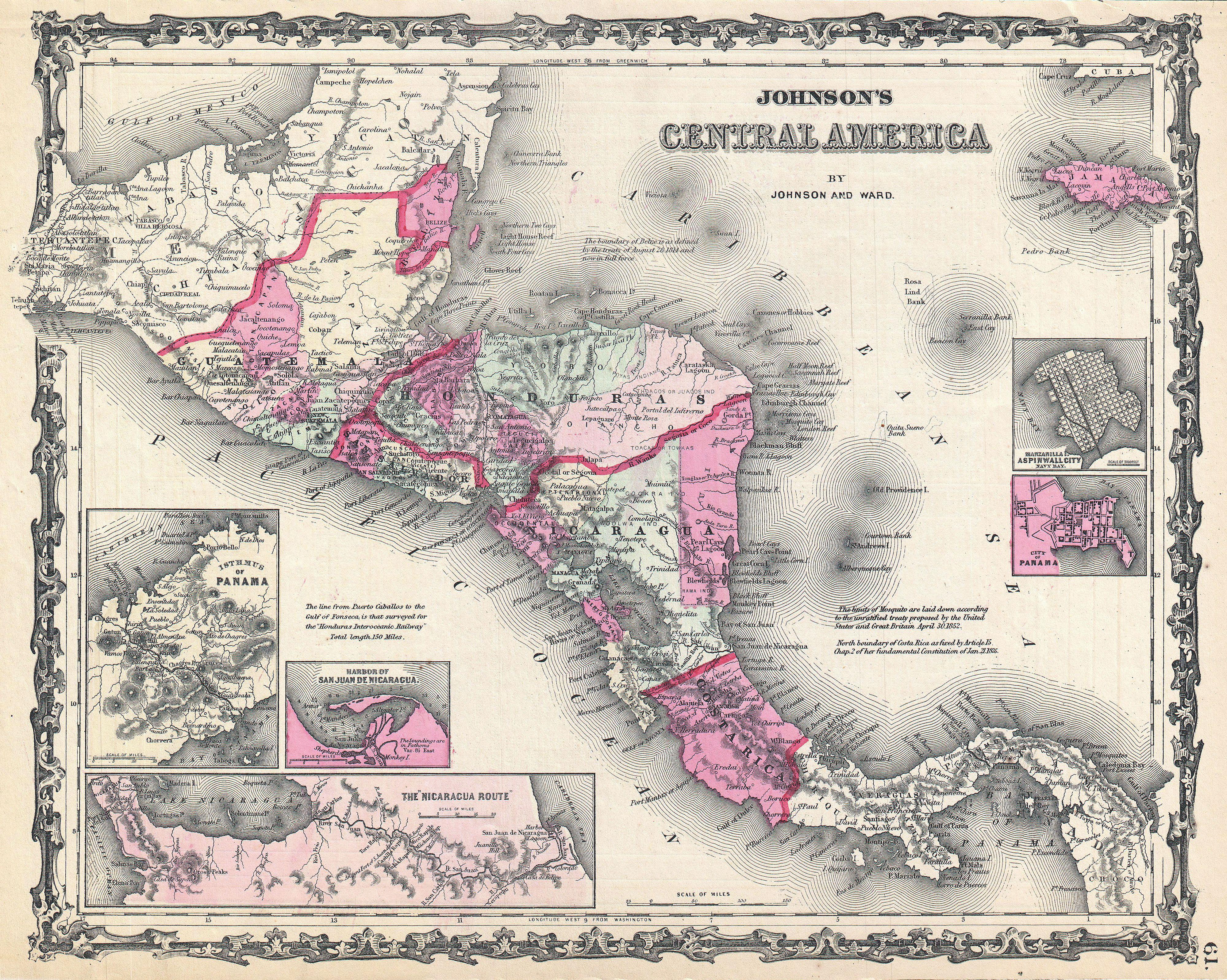
Johnson Map of Central America Geographicus CentralAmericajohnson. This is Johnson and Ward map of Central America Covers Central America from the Isthmus of Tehuantepec Mexico to the Bay of Panama Shows the countries of Guatemala Honduras El Salvador Nicaragua and Costa Rica Jamaica appears in the upper right corner Shows proposed