Related Images


Download:
| Tiny | 88x128 | View | Download |
| Small | 176x256 | View | Download |
| Medium | 352x512 | View | Download |
| Large | 704x1024 | View | Download |
| Original | 3442x5000 | View | Download |
This image was acquired from
wikimedia. It was marked as Public Domain or CC0 and is free to use. To verify, go to the source and check the information there.
Looking for more info about this image?
Try a Google Reverse Image Search for it.
Try a Google Reverse Image Search for it.
Keywords from Image Description:
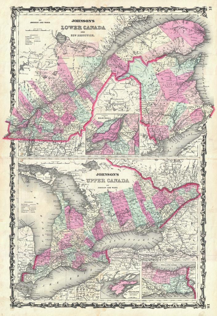
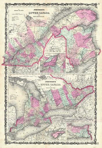
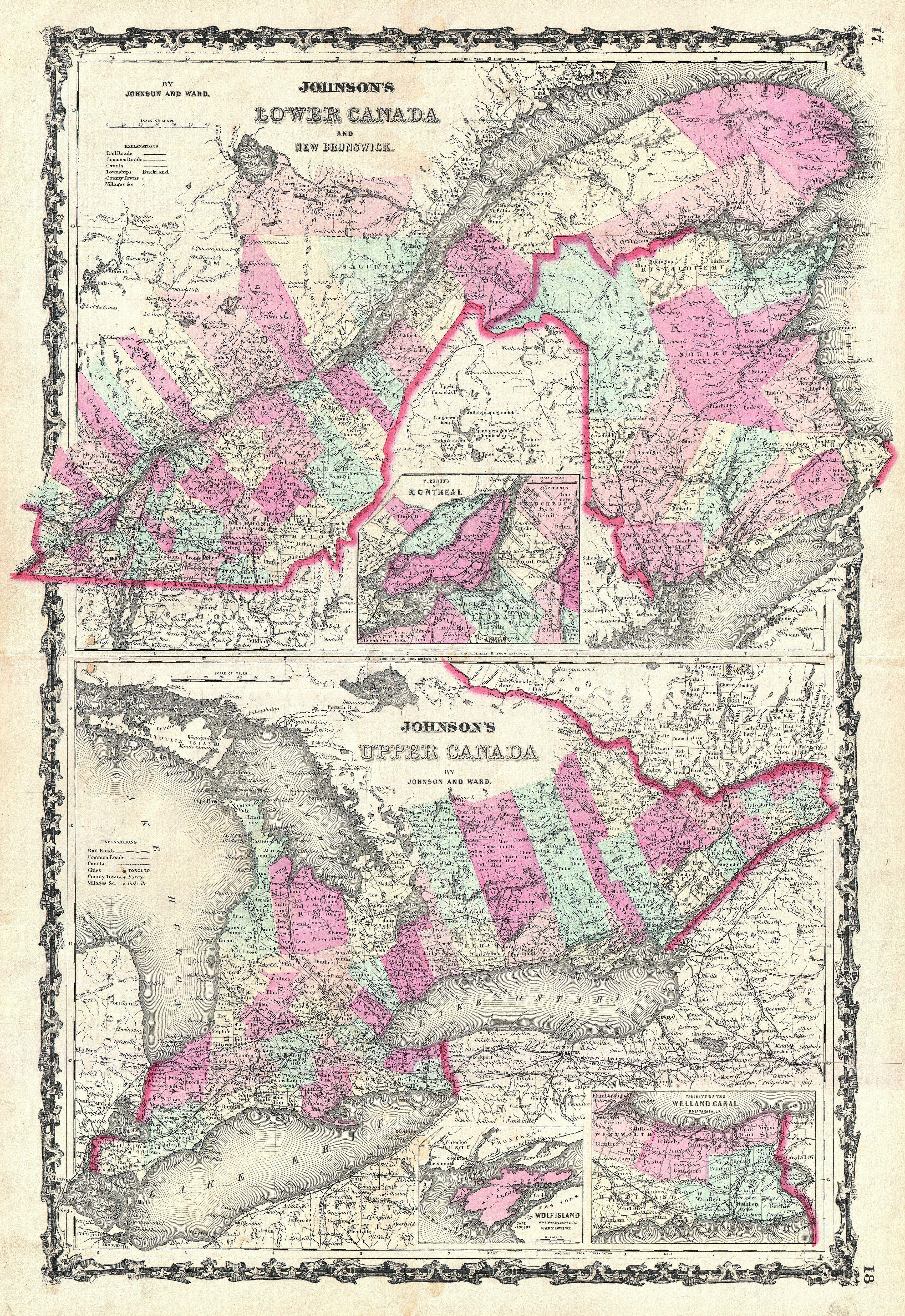
Johnson Map of Ontario and Quebec Canada Geographicus QuebecOntariojohnson. This is Johnson and Ward map of Upper Canada Ontario and Lower Canada Quebec Divided into two maps The upper map consists of the provinces of Quebec and New Brunswick Features an inset map of the Environs of Montreal Lower map focuses exclusively on Ontario