
Related Images


Download:
| Tiny | 88x128 | View | Download |
| Small | 177x256 | View | Download |
| Medium | 355x512 | View | Download |
| Large | 710x1024 | View | Download |
| Original | 3468x5000 | View | Download |
This image was acquired from
wikimedia. It was marked as Public Domain or CC0 and is free to use. To verify, go to the source and check the information there.
Looking for more info about this image?
Try a Google Reverse Image Search for it.
Try a Google Reverse Image Search for it.
Keywords from Image Description:
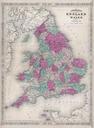
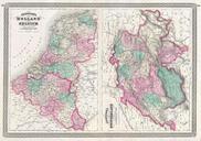
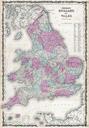
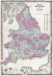
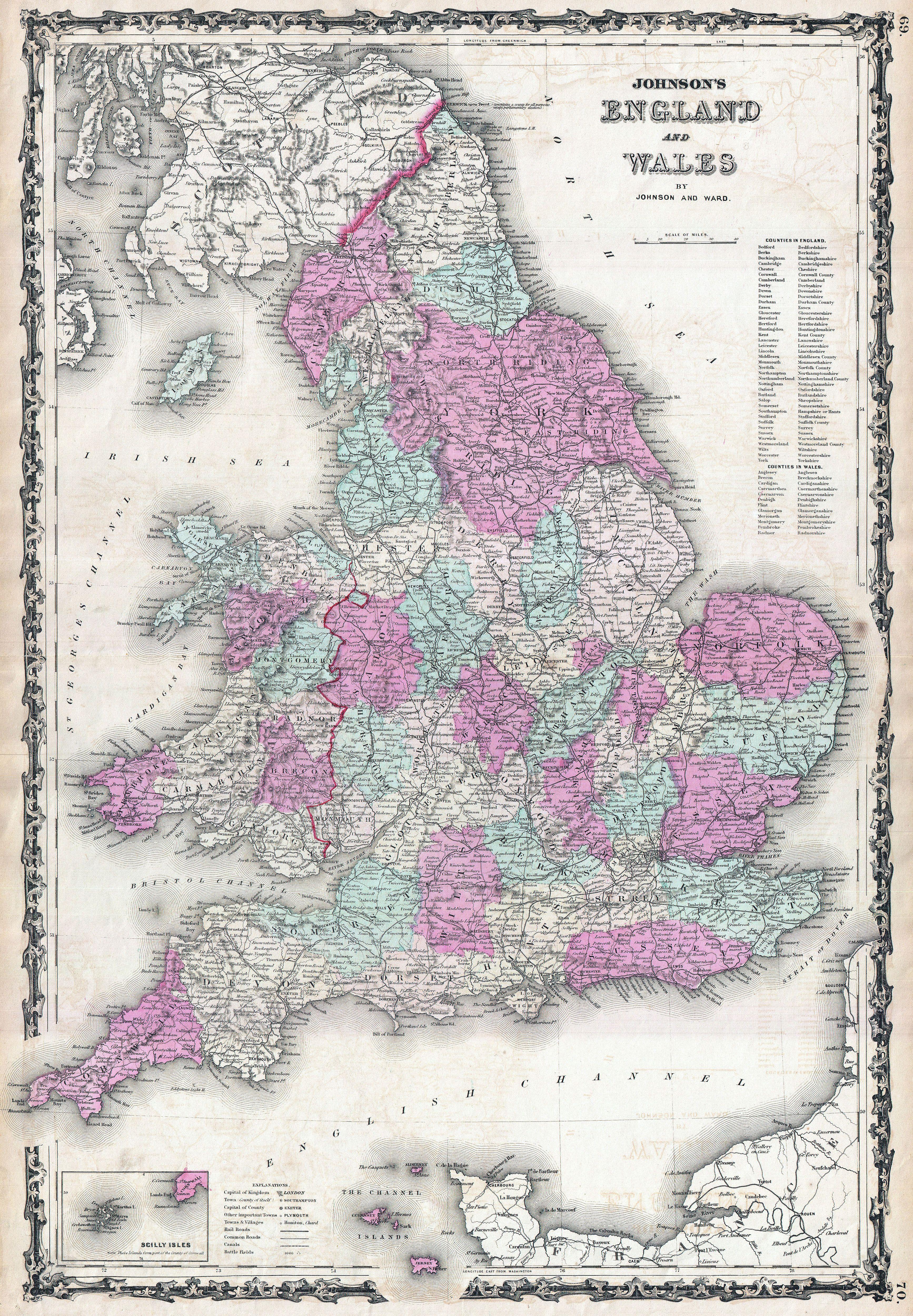
Johnson Map of England and Wales Geographicus Englandjohnson. This is Johnson and Ward map of England and Wales Covers both England and Wales in considerable detail with color coding at the county level Shows major roadways cities rivers trains and ferry crossings Upper right hand quadrant features list of counties in England