Related Images


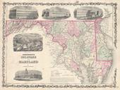
Download:
| Tiny | 181x128 | View | Download |
| Small | 363x256 | View | Download |
| Medium | 727x512 | View | Download |
| Large | 1454x1024 | View | Download |
| Original | 5000x3519 | View | Download |
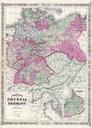
This image was acquired from
wikimedia. It was marked as Public Domain or CC0 and is free to use. To verify, go to the source and check the information there.
Looking for more info about this image?
Try a Google Reverse Image Search for it.
Try a Google Reverse Image Search for it.
Keywords from Image Description:
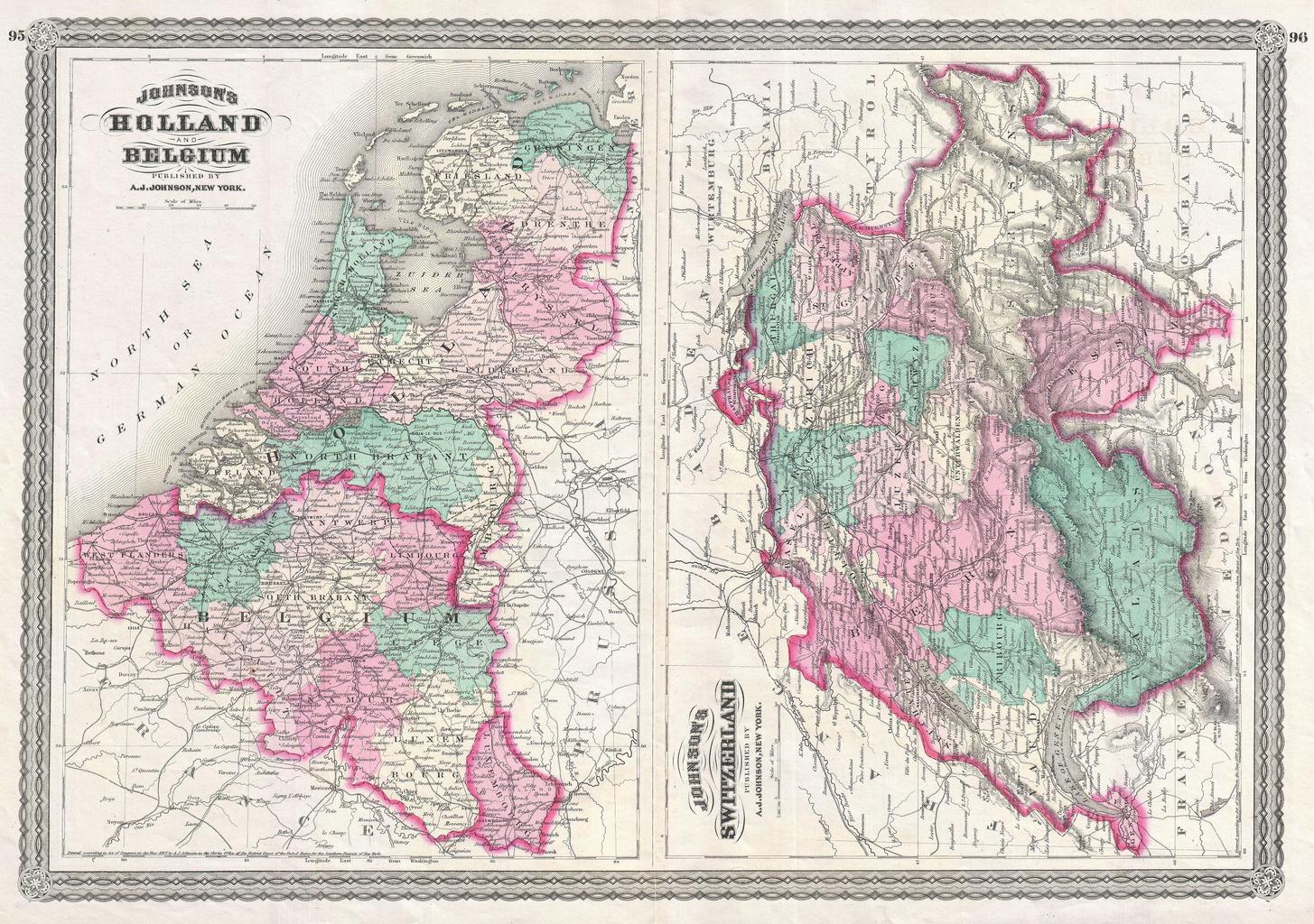
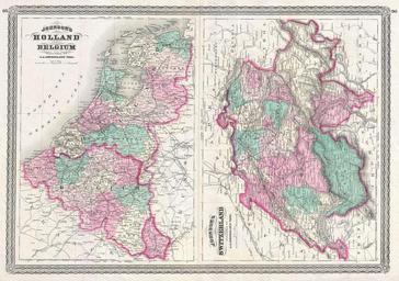
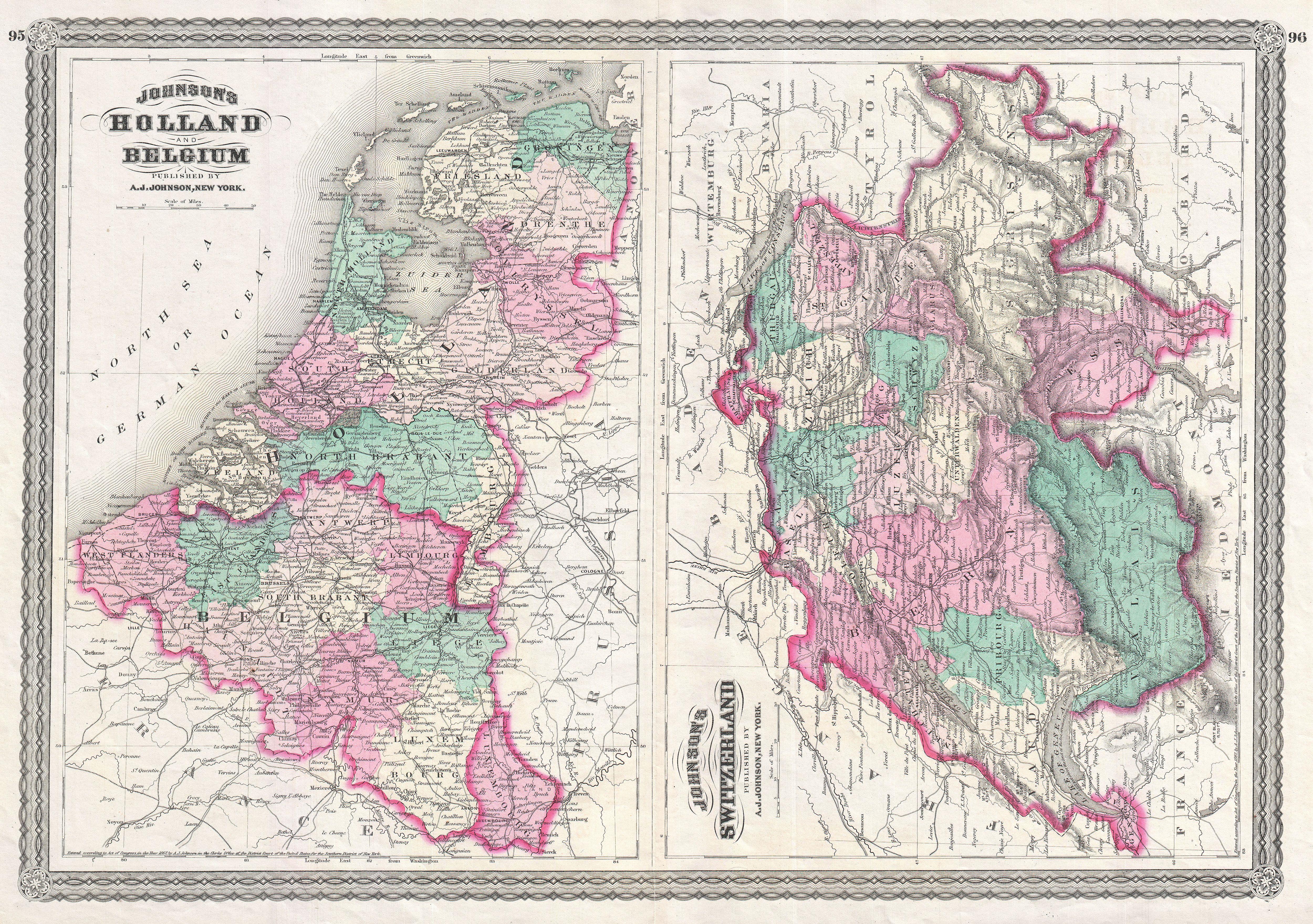
Johnson Map of Holland Belgium and Switzerland Geographicus HollandSwitzerlandjohnson. This is Johnson map of Switzerland Holland The Netherlands and Belgium This is actually composite on single folio sheet of two maps formerly issued on separate sheets Depicts the area in considerable detail with color coding according to both