
Related Images


Download:
| Tiny | 79x128 | View | Download |
| Small | 158x256 | View | Download |
| Medium | 316x512 | View | Download |
| Large | 633x1024 | View | Download |
| Original | 3709x6000 | View | Download |
This image was acquired from
wikimedia. It was marked as Public Domain or CC0 and is free to use. To verify, go to the source and check the information there.
Looking for more info about this image?
Try a Google Reverse Image Search for it.
Try a Google Reverse Image Search for it.
Keywords from Image Description:
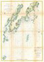
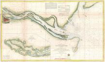
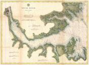
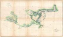
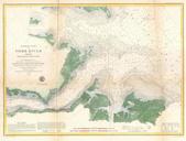
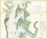
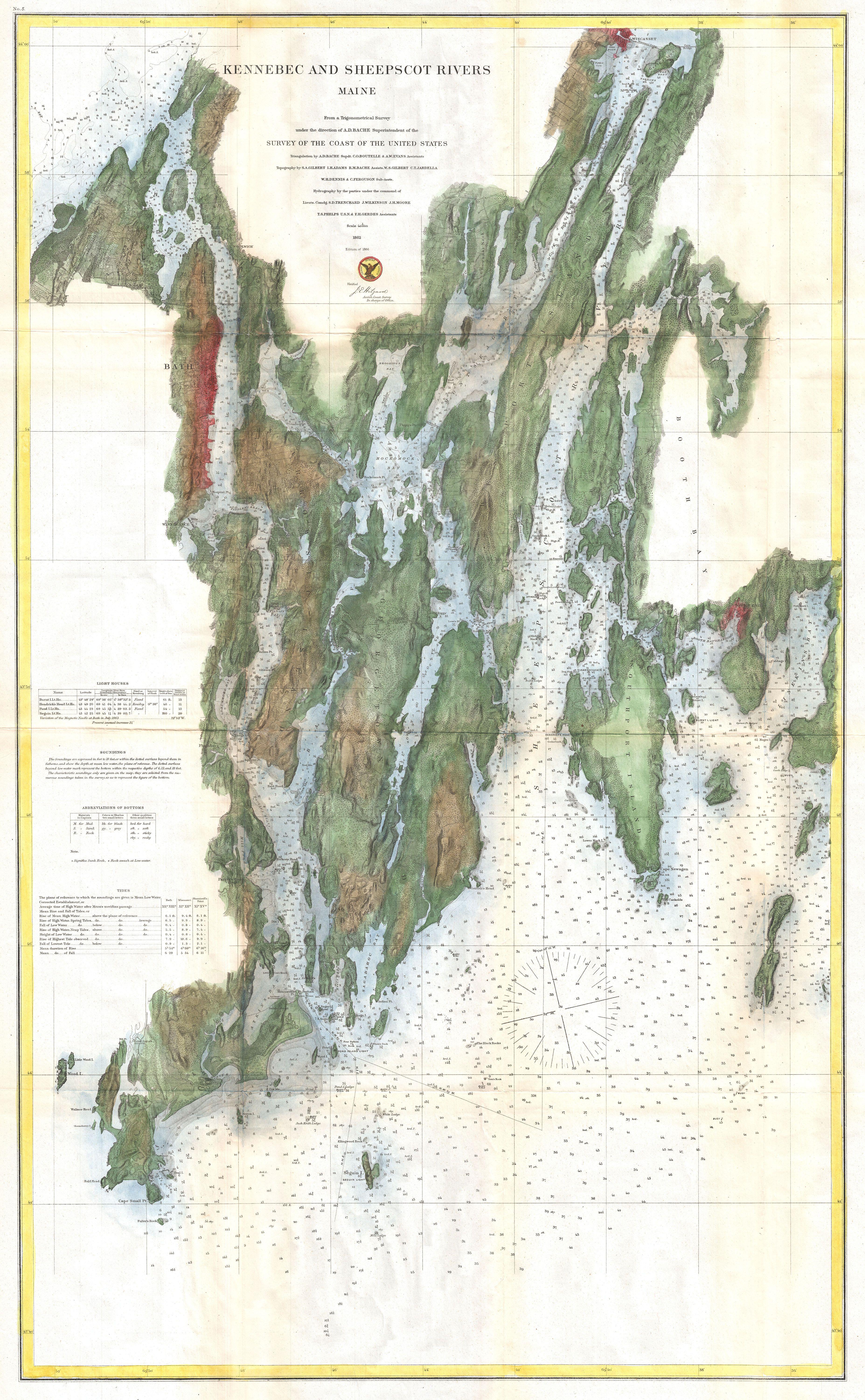
U.S. Coast Survey Map of the Kennebec and Sheepscot Rivers Maine Nautical Chart Geographicus KennebecSheepscotuscs. This is highly desirable and uncommon Coast Survey chart or map of the Kennebecand Sheepscot Rivers Maine Covers from the southerly most point of Cape Small Point northwars as far as Wiscasset extends west to just