Related Images


Download:
| Tiny | 213x128 | View | Download |
| Small | 426x256 | View | Download |
| Medium | 853x512 | View | Download |
| Large | 1707x1024 | View | Download |
| Original | 6000x3598 | View | Download |
This image was acquired from
wikimedia. It was marked as Public Domain or CC0 and is free to use. To verify, go to the source and check the information there.
Looking for more info about this image?
Try a Google Reverse Image Search for it.
Try a Google Reverse Image Search for it.
Keywords from Image Description:
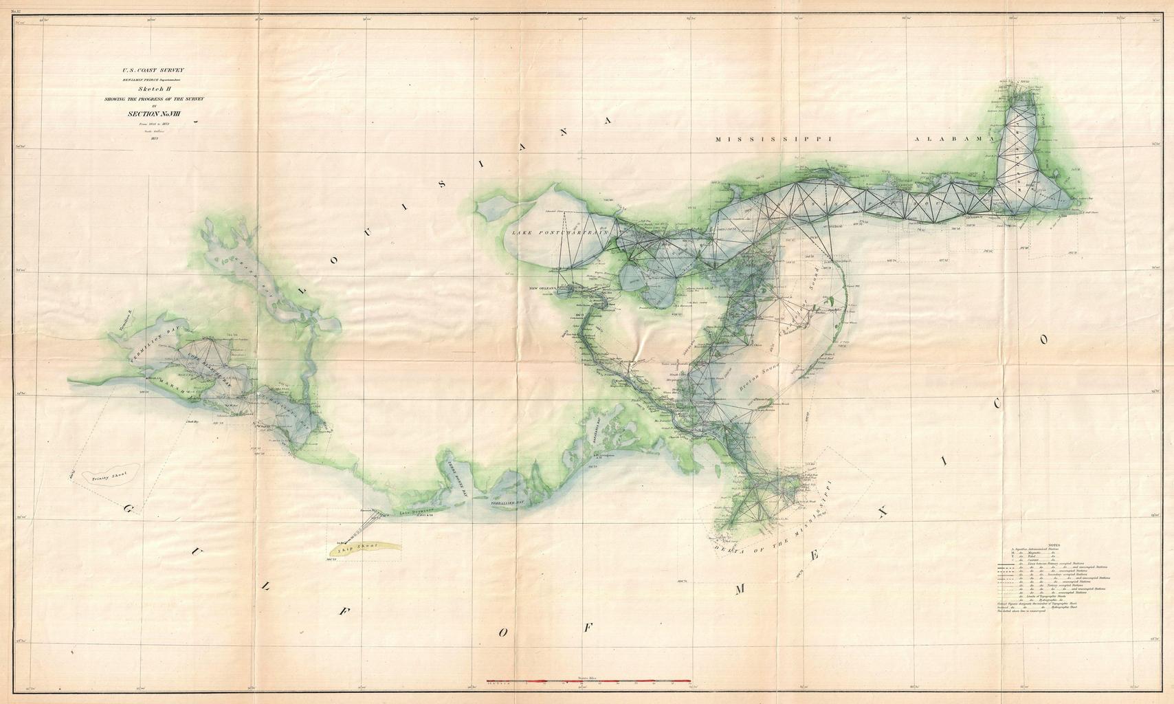
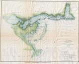
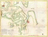
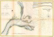
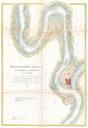
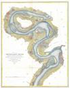
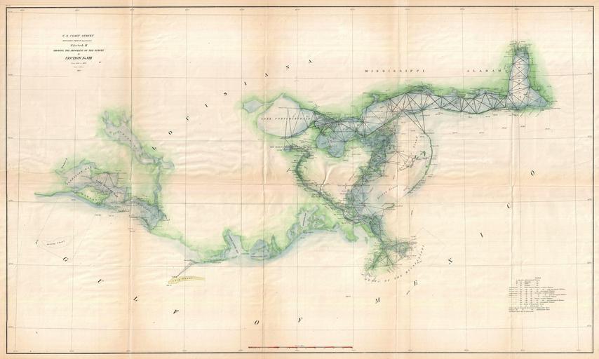
U.S. Coast Survey Map of the Delta of the Mississippi River Geographicus GulfCoastuscs. very attractive example of the Coast Survey nautical chart or map of the Mississippi River Delta and environs Centered on the fanlike river delta itself this map extends westward as far as Marsh Island and Vermillion Bay and eastward along