Related Images


Download:
| Tiny | 156x128 | View | Download |
| Small | 312x256 | View | Download |
| Medium | 625x512 | View | Download |
| Large | 1251x1024 | View | Download |
| Original | 4000x3272 | View | Download |
This image was acquired from
wikimedia. It was marked as Public Domain or CC0 and is free to use. To verify, go to the source and check the information there.
Looking for more info about this image?
Try a Google Reverse Image Search for it.
Try a Google Reverse Image Search for it.
Keywords from Image Description:
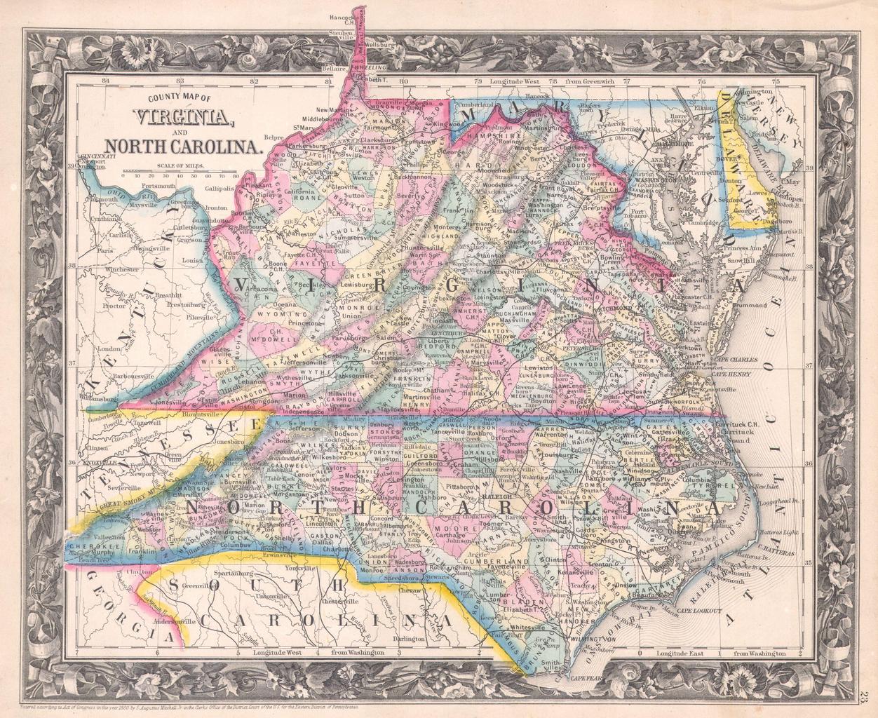
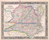
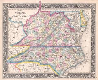
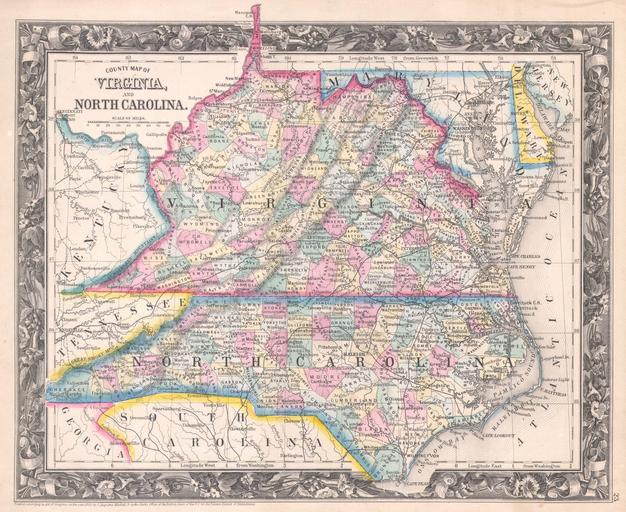
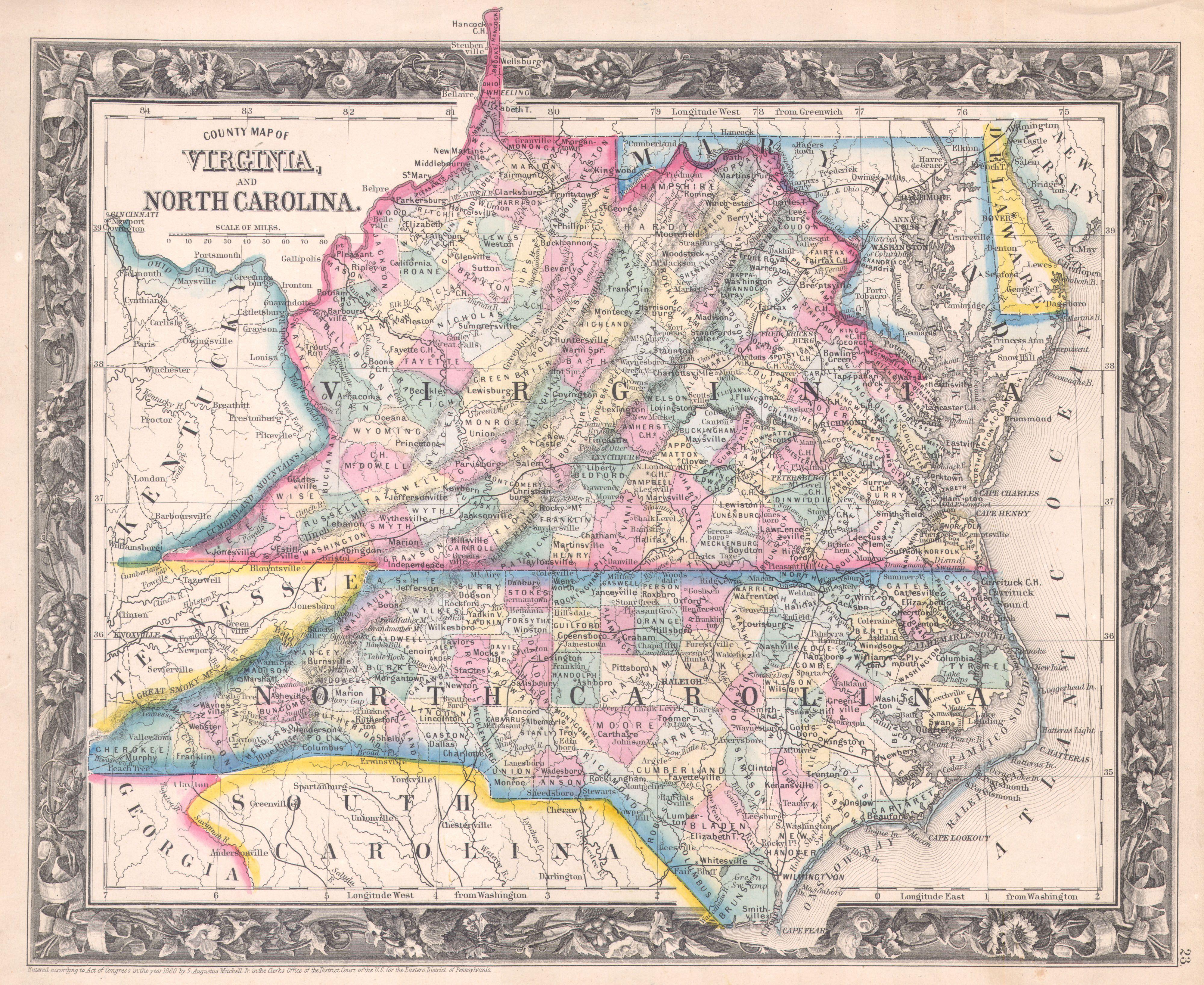
Mitchell Map of Virginia undivided and North Carolina Geographicus VANCmitchell. One of the most difficult to find atlas maps issued by Mitchell Jr From the first edition of Mitchell Mitchell New General Atlas depicts unified Virginia with North Carolina Includes parts of Kentucky Tennessee Maryland Georgia South Carolina and