Related Images


Download:
| Tiny | 108x128 | View | Download |
| Small | 216x256 | View | Download |
| Medium | 432x512 | View | Download |
| Large | 864x1024 | View | Download |
| Original | 7665x9083 | View | Download |
This image was acquired from
wikimedia. It was marked as Public Domain or CC0 and is free to use. To verify, go to the source and check the information there.
Looking for more info about this image?
Try a Google Reverse Image Search for it.
Try a Google Reverse Image Search for it.
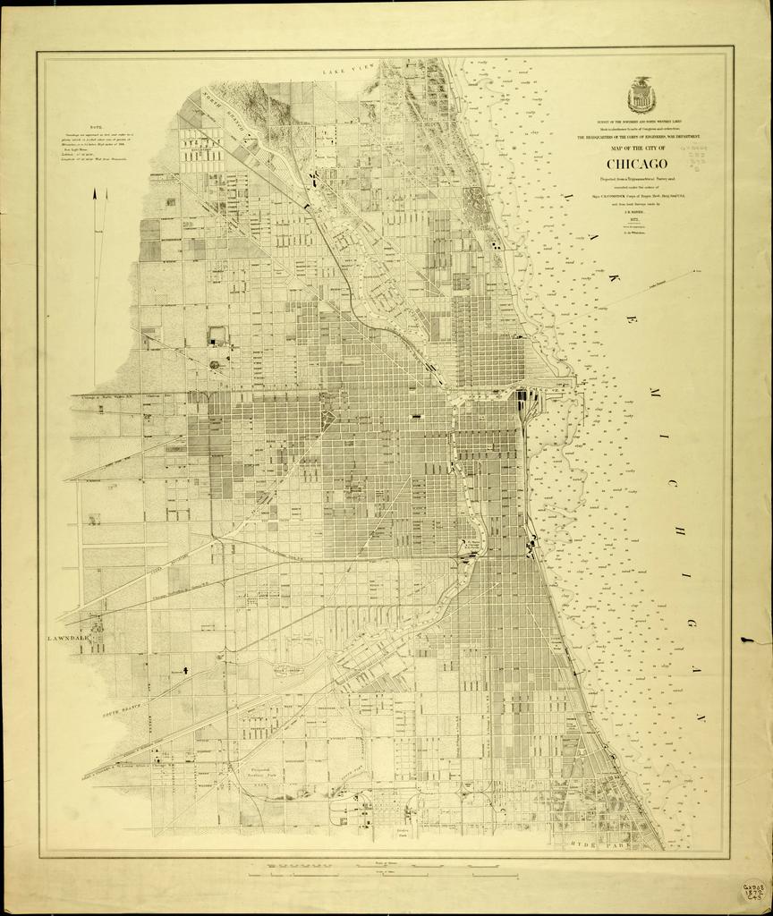
Keywords from Image Description:
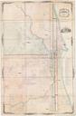
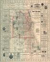
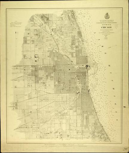
Chicago map by Mayer. Map projected from trigonometrical survey and executed under the orders of Major Comstock Corps of Engineers and from local surveys made by Mayer Mayer lib uwm edu UW Milwaukee Libraries PDold map date Chicago warp status United States Army Corps of Engineers print date accession number cm other