Related Images


Download:
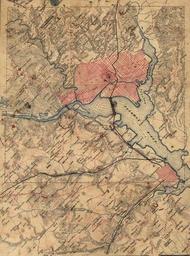
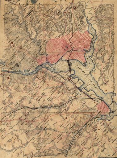
| Tiny | 94x128 | View | Download |
| Small | 189x256 | View | Download |
| Medium | 378x512 | View | Download |
| Large | 757x1024 | View | Download |
| Original | 3176x4293 | View | Download |
This image was acquired from
flickr. It was marked as Public Domain or CC0 and is free to use. To verify, go to the source and check the information there.
Looking for more info about this image?
Try a Google Reverse Image Search for it.
Try a Google Reverse Image Search for it.
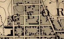
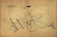
Keywords from Image Description:
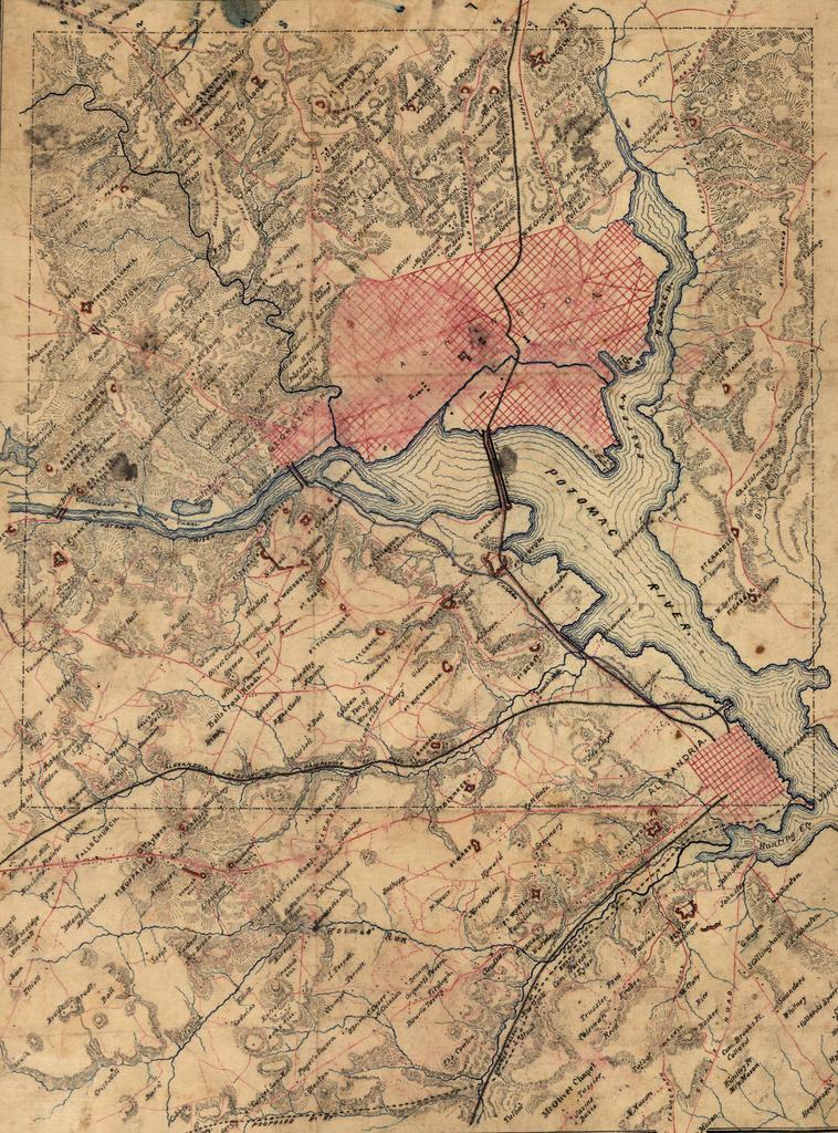
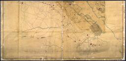
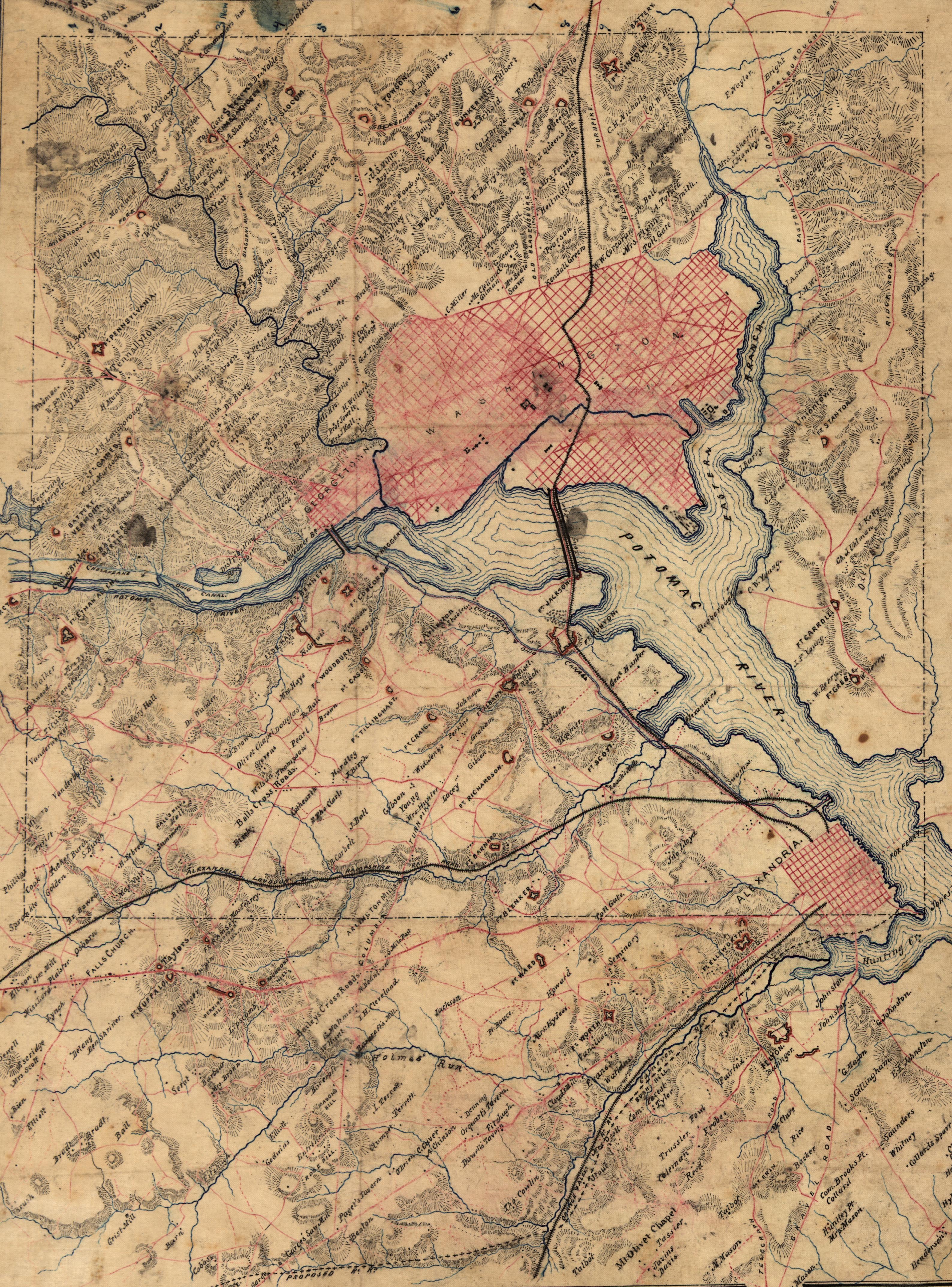
outdoor GST Topographical Map of the District of Columbia and adjacent areas in Virginia showing fortifications during the Civil War. Courtesy of the Library of Congress. GST Topographical Map of the District of Columbia and adjacent areas in Virginia showing fortifications during the Civil War. Courtesy of the Library of Congress.