Related Images

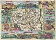
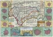
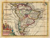
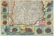
This image was acquired from
wikimedia. It was marked as Public Domain or CC0 and is free to use. To verify, go to the source and check the information there.
Looking for more info about this image?
Try a Google Reverse Image Search for it.
Try a Google Reverse Image Search for it.
Keywords from Image Description:
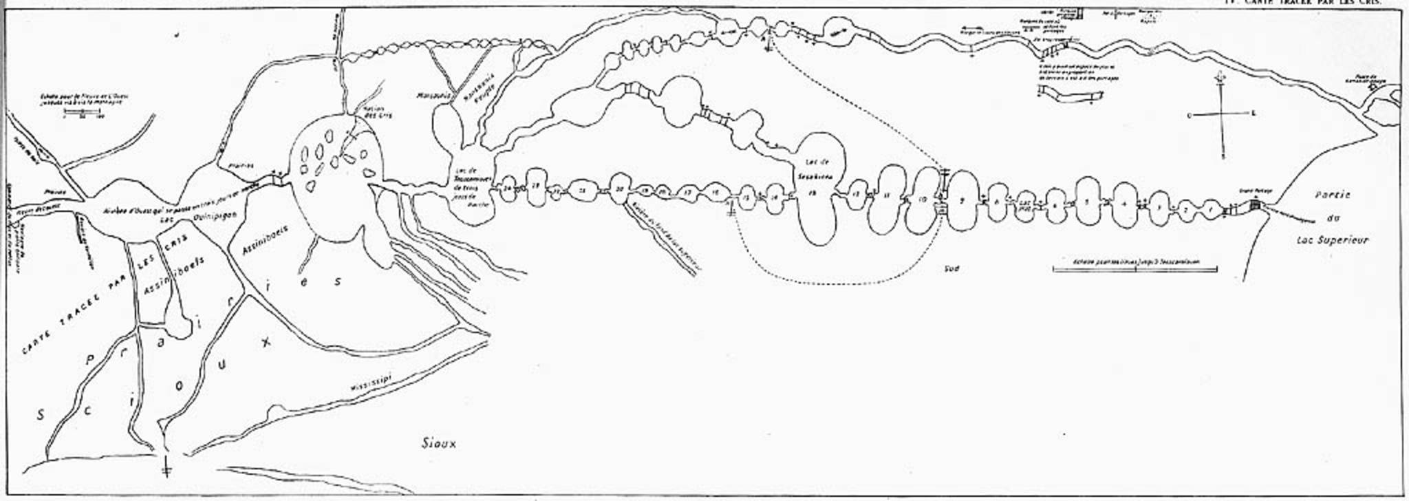
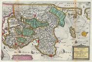
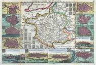
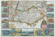
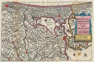
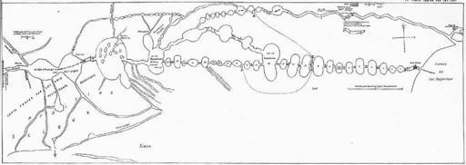
La Vrendrye Map. Map of Boundary Waters region including Lake Superior Kaministiquia River Rainy Lake Lake of the Woods and Lake Winnipeg drawn by Native guide Auchagah for La Vrendrye sometime around France National Archives lacbac gc ca collectionscanada gc ca Auchagah Public Domain Credit National Archives of Canada PDold