Download:
| Tiny | 156x128 | View | Download |
| Small | 313x256 | View | Download |
| Medium | 627x512 | View | Download |
| Large | 1254x1024 | View | Download |
| Original | 4000x3264 | View | Download |
This image was acquired from
wikimedia. It was marked as Public Domain or CC0 and is free to use. To verify, go to the source and check the information there.
Looking for more info about this image?
Try a Google Reverse Image Search for it.
Try a Google Reverse Image Search for it.
Keywords from Image Description:
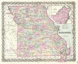
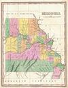
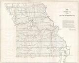
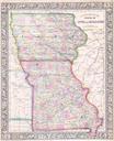
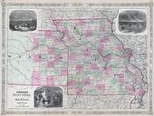
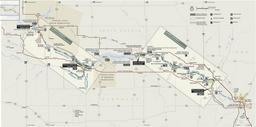
Map of Missouri River and Vicinity. Map of Missouri River and Vicinity from St Charles to the Mandan Villages of North Dakotabr made by James Mackay with the assistance of John Evans Source scaled down version created by User PDD based on loc gov sid Original MrSID format image pixels This version pixel scaledown leveladjusted

