Related Images


Download:
| Tiny | 134x128 | View | Download |
| Small | 269x256 | View | Download |
| Medium | 539x512 | View | Download |
| Large | 1079x1024 | View | Download |
| Original | 6000x5692 | View | Download |
This image was acquired from
wikimedia. It was marked as Public Domain or CC0 and is free to use. To verify, go to the source and check the information there.
Looking for more info about this image?
Try a Google Reverse Image Search for it.
Try a Google Reverse Image Search for it.
Keywords from Image Description:
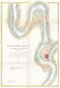
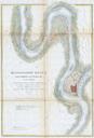
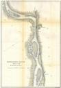
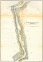
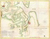
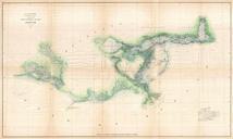
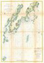
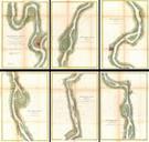
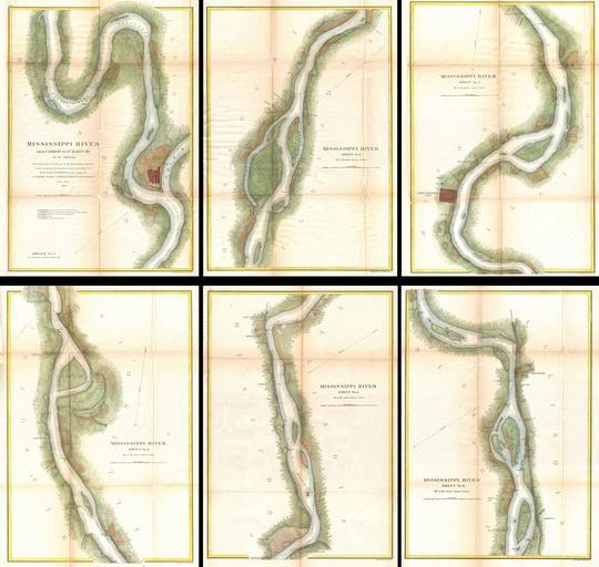
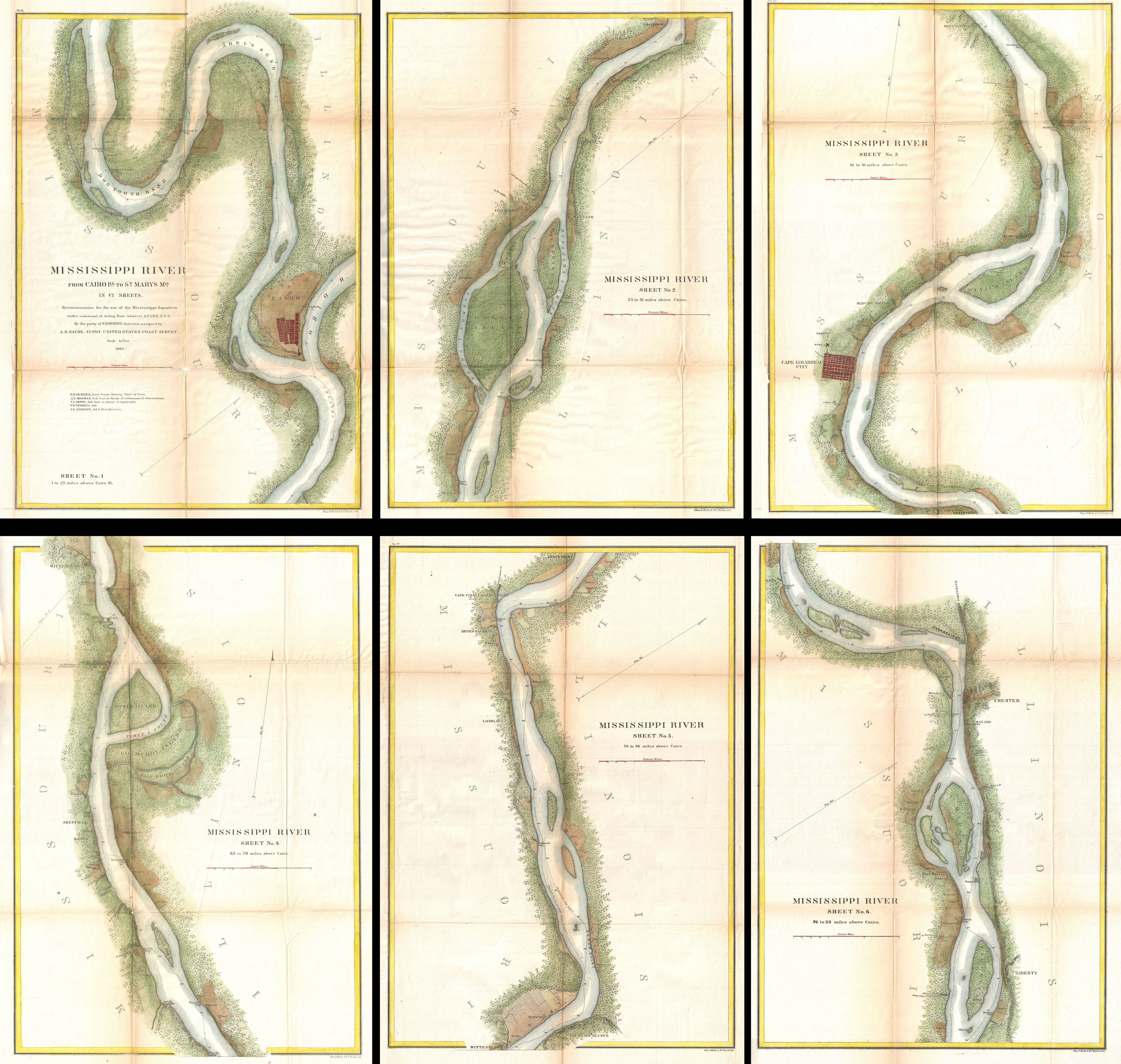
U.S. Coast Survey Map of the Mississippi River from Cairo IL to St. Marys MO Geographicus MississippiRiveruscs. This is an important and rarely seen complete set of six charts from the Coast Survey mapping of the Mississippi River Prepared by Gerdes this map set details the territory from Cairo Illinois to St Mary's Missouri